Do you have a question about the Furuno GP-150 and is the answer not in the manual?
Describes manual usage, warranty, copying, and general operating notes.
Covers electrical hazards, unauthorized modifications, and water ingress precautions.
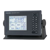
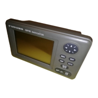
Details the purpose of each button on the GP-150's control panel.
Explains the procedure for turning the device on and off, including startup indicators.
Details how to place marks at own ship's position or cursor intersection and erase them.
Explains how to register waypoints using various methods such as cursor, MOB/event, own ship position, or list.
Covers modifying existing waypoint data and removing waypoints from memory.
Details the process of creating and storing navigation routes composed of waypoints.
Explains various methods for setting a destination, including single and multiple points.
Describes how to find the range and bearing between two points using different calculation methods.
Explains how to select and arrange data items shown on the Data Display screen.
Covers setting the position display to Latitude/Longitude or Loran/Decca LOPs.
Details the setup and function of alarms related to approaching destinations and anchor watch.
Explains how to configure and manage the alarm for deviation from the intended course.
Covers setting alarms for ship's speed (high/low) and trip distance.
Details configuration for water temperature, depth, and WAAS/DGPS signal alarms.
Covers settings like fix mode, antenna height, satellite disabling, and GPS smoothing.
Details geodetic datum, position offset, time difference, and position entry settings.
Covers RAIM function, accuracy, geodetic datum, position offset, and time difference entry.
Details settings for connecting to external equipment and managing data output.
Covers setting up the DATA 4 port for PC connection and data transfer.
Details the process of loading waypoints and routes from a computer.
Details setting up DGPS stations, including automatic search and manual programming.
Describes how to access and view GPS status, satellite information, and beacon data.
Explains how to reset the unit by clearing its memory (plotter, GPS, or all).
Provides guidelines for regular checks to ensure optimal performance and longevity.
Lists common error messages and guidance on troubleshooting their causes.
Offers solutions for problems like inability to power on, fix position, or transmit data.
Details how to run memory/I/O circuit tests and keyboard functionality checks.
Explains how to perform display pattern tests and run automatic self-tests.
Covers settings related to GPS fix mode, antenna height, satellite disabling, and smoothing.
Configures settings for WAAS/DGPS operation, including search modes and data sets.
Details the performance metrics and accuracy of the GPS receiver.
| Display Type | LCD |
|---|---|
| Display Size | 4.5 inches |
| Resolution | 320 x 240 pixels |
| Channels | 12 |
| Operating Temperature | -15°C to +55°C |
| Waterproof Rating | IPX5 |
| Data Output | NMEA 0183 |
| Type | GPS Receiver |
| Accuracy | 10 meters |
| Languages | English |