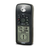
30 GPS 72H Owner’s Manual
Settings
RTCM In/NMEA Out—allows
the GPS 72H to communicate
with a NMEA 0183, version
2.3 sentences, GPRMC,
GPGGA, GPGSA, GPGSV,
GPGLL, GPBOD, GPRTE, and
GPWPL. For NMEA connection
information, see page 38.
RTCM In/Text Out—allows
the GPS 72H to output simple
text data that includes date,
time, position, and velocity
information.
None—turns off all serial
communication.
USB—displays connectivity of
the device to a computer. For more
information, see page 40.
•
•
•
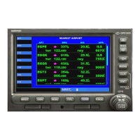
Data Field Options
The following table lists all of
the GPS 72H data elds and
descriptions.
Data Field Description
Accuracy The accuracy of
the GPS signal.
Bearing The direction
from your current
location to a
destination.
Course The direction
from your
starting location
to a destination.
Depth The depth of the
water. Requires
a NMEA
0183 device
connection to
acquire data.
 Loading...