5GPS Beginner’s Guide
Master control station
Monitor stations
Ground antennas
Monitor Stations
At least six unmanned monitor stations are located around the world. Each station constantly monitors and receives information from the GPS
satellites and then sends the orbital and clock information to the master control station (MCS).
Master Control Station (MCS)
The MCS) is located near Colorado Springs in Colorado. The MCS constantly receives GPS satellite orbital and clock information from the
monitor stations. The controllers in the MCS make precise corrections to the data as necessary, and send the information (known as ephemeris
data) to the GPS satellites using the ground antennas.
Ground Antennas
Ground antennas receive the corrected orbital and clock information from the MCS, and then send the corrected information to the appropriate
satellites.
User Segment
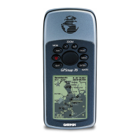
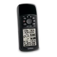
The GPS user segment consists of your GPS receiver. Your receiver collects and processes signals from the GPS satellites that are in view
and then uses that information to determine and display your location, speed, time, and so forth. Your GPS receiver does not transmit any
information back to the satellites.
How Does GPS Technology Work?
The following points provide a summary of the technology at work:
The control segment constantly monitors the GPS constellation and uploads information to satellites to provide maximum user accuracy.
Your GPS receiver collects information from the GPS satellites that are in view.
Your GPS receiver accounts for errors. For more information, refer to the Sources of Errors (Page 7) section.
Your GPS receiver determines your current location, velocity, and time.
Your GPS receiver can calculate other information, such as bearing, track, trip distance, distance to destination, sunrise and sunset time, and
so forth.
Your GPS receiver displays the applicable information on the screen.
Who Uses GPS?
GPS technology has many amazing applications on land, at sea, and in the air. You might be surprised to learn about the following examples of
how people or professions are already using GPS technology:
Agriculture
In precision farming, GPS technology helps monitor the application of fertilizer and pesticides. GPS technology also provides location
information that helps farmers plow, harvest, map elds, and mark areas of disease or weed infestation.
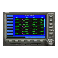
Aviation
Aircraft pilots use GPS technology for en route navigation and airport approaches. Satellite navigation provides accurate aircraft location
anywhere on or near the earth.
Environment
GPS technology helps survey disaster areas and map the movement of environmental phenomena (such as forest res, oil spills, or hurricanes).
It is even possible to nd locations that have been submerged or altered by natural disasters.
•
•
•
•
•
•
•
•
•