T
Tim BrownJul 25, 2025
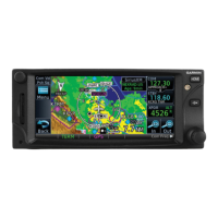
What to do if my Garmin GTN 750 Data Link Receiver is not powered?
- DDavid CastilloJul 25, 2025
If your Garmin GPS Data Link Receiver is not powered, quickly check the circuit breakers to ensure power is being supplied to the receiver.