Do you have a question about the Garmin RINO 750 and is the answer not in the manual?
Sending/responding to alerts and configuring radio app settings like weather alerts.
Connecting the Garmin Rino device to a compatible smartphone via Bluetooth.
Linking your device with geocaching.com and establishing a wireless connection.
Finding geocaches by name, code, or proximity and initiating navigation.
Starting, pausing, and saving recorded activities like runs or hikes.
Setting destinations, navigating using the map, and retracing routes with TracBack.
Using the device's compass for navigation and calibrating it for accuracy.
Saving your current location as a waypoint and searching for saved waypoints.
Planning and modifying routes using the Route Planner or the map interface.
Connecting ANT+ sensors and configuring heart rate zones for fitness tracking.
Options for resetting trip data, waypoints, or all device settings to factory defaults.
Solutions for when the device stops responding or fails to power on.
Troubleshooting inaccurate battery readings and phone connection issues.
Steps to resolve problems with the device not acquiring satellite signals.
Instructions to restore all device settings to their original factory default configuration.
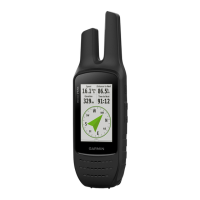
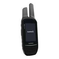
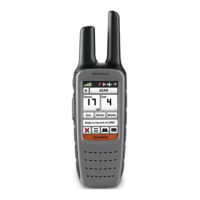
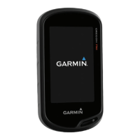
| Form factor | Handheld |
|---|---|
| Product color | Black |
| International Protection (IP) code | IPX7 |
| Power source type | Battery |
| Battery life (max) | 14 h |
| Widescreen | - |
| Display diagonal | 3 \ |
| Display resolution | 240 x 400 pixels |
| Display number of colors | 65536 colors |
| Compatible memory cards | MicroSD (TransFlash) |
| Internal storage capacity | 1.7 GB |
| Lifetime map updates | Roads change, but with Lifetime Map Updates your map will always be up to date. Start fresh every few months by downloading a new edition of the industry's most accurate map. New editions are issued four times per year. |
| Routes quantity | 250 |
| Number of waypoints | 10000 |
| Traffic Message Channel (TMC) | No |
| Depth | 41 mm |
|---|---|
| Width | 66 mm |
| Height | 201 mm |
| Weight | 348 g |