
R
Ryan FreemanJul 26, 2025
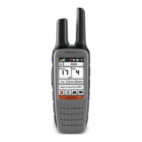
Why does my Garmin Rino 650 device not acquire satellite signals?
- AAshley WhiteJul 26, 2025
If your Garmin GPS device is not acquiring satellite signals: 1. Take your device out of parking garages and away from tall buildings and trees. 2. Turn on the device. 3. Remain stationary for several minutes.