M
Matthew OconnellJul 26, 2025
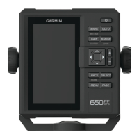
Why is my Garmin Montana 650 GPS not acquiring satellite signals?
- Mmichael73Jul 26, 2025
If your Garmin GPS device is not acquiring satellite signals, try the following steps: * Move your device away from buildings, parking garages, tall buildings, and trees. * Turn on the device. * Remain stationary for several minutes.