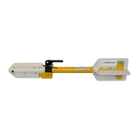
Geometrics Inc. G-882 Cesium Marine Magnetometer Page 22
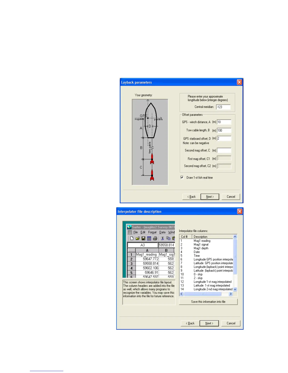
Put a “0” in the “Second Mag offset” if there is only one tow fish deployed
and two are shown (Figure 24). Recent versions of MagLog will have only
the number of fish displayed that are logged, however your program may
show two fish. Make sure you have the latest version from our web site or
contact us for a CD.
The next screen in the
Survey Wizard shows the
user how the Interpolator file
will be generated. Note that
all relevant data is stored
including magnetic field,
signal strength, sensor depth
and altitude if available, GPS
position, fish 1 and fish 2
position, etc. This file may
be brought directly into
MagMap2000 using the “all
files” input description in
order to plot the actual fish
positions for further analysis
(Note: bringing in MagLog
*.survey files [pertains to
MagLogLite as well] give
ship position plots, not
sensor position plots. Only
bringing in Interpolator files
will show the actual
calculated fish position on
the GPS track plots in
MagMap2000.
You may save this header
file for future reference
using the “Save this
information to file” button.
Next the Survey Wizard will
help us define the look and
feel of the logging display
(Figure 26). We are
presented with certain
default “slot” line colors and
plot definitions. We
recommend that you use
the Horizontal (Landscape)
 Loading...