Honda Compact Navigation System Owner’s Manual 19
About the Map Pages
About the Map
Pages
Viewing the Map While
Navigating
Notice
In no event shall Garmin/Honda
Access Europe be liable for any
incidental, special, indirect, or
consequential damages, including,
without limitation, damages for any
trafc nes or citations, whether
resulting from the use, misuse,
or inability to use the product or
from defects in the product. Some
states do not allow the exclusion of
incidental or consequential damages,
so the above limitations may not
apply to you.
Your route is marked with a magenta
line. A checkered ag marks your
destination.
As you travel, your device guides
you to your destination with voice
prompts, arrows on the map, and
directions at the top of the map. If
you depart from the original route,
your device recalculates the route
and provides new directions.
A speed limit icon displaying the
current speed limit may appear as
you travel on major roadways.
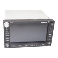
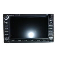
Using the Navigation Map
➊ ➋
➌
➍ ➎
➏
➐
➊
Touch to view the next turn.
The turn indicator also tells you
which lane you should be in to
prepare for your next maneuver,
when available.