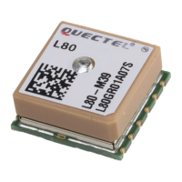
GNSS Module Series
L80&L80-R&L86&LC86L EVB User Guide
L80&L80-R&L86&LC86L_EVB_User_Guide 21 / 30
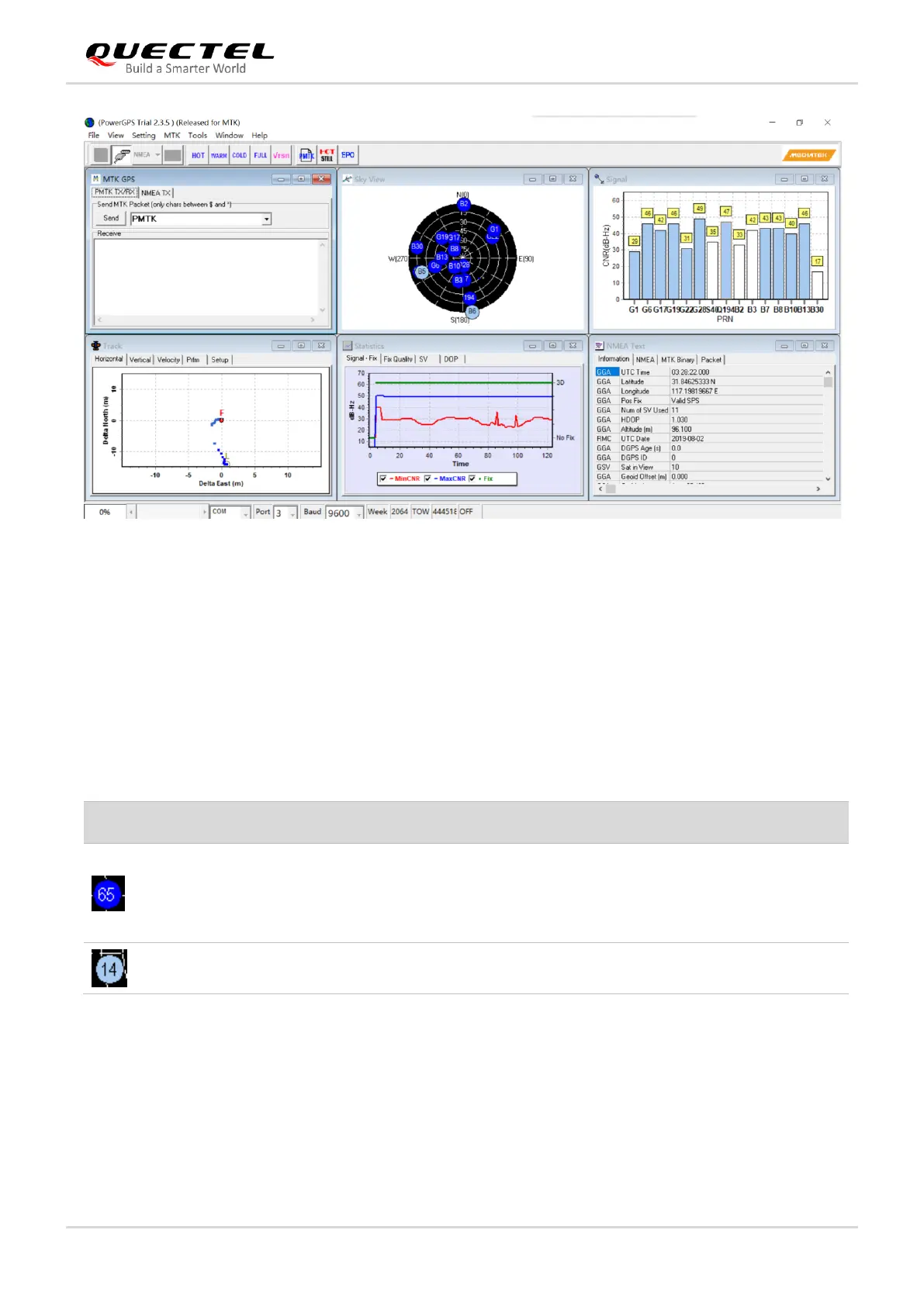
Figure 13: PowerGPS Interface (Connected)
5.1.1. Interface Explained
On the PowerGPS interface, you can view GNSS information, such as CNR message, time, position,
speed and precision. To find out more about these parameters, see the table below.
Table 6: PowerGPS Interface Explained
A satellite vehicle (SV) with PRN 65. If the position of SV is
near to the centre of the Sky View, the elevation angle of SV is
close to 90°.
Dark Blue means that this satellite is being tracked.
Light blue means that this satellite is not being tracked.