Step 1: Map out the boundary
3
2
1
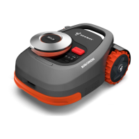
Tap “Create a map” to start mapping. Make sure the mower is powered on. With Bluetooth
connection, your phone will connect to the mower
automatically.
O N
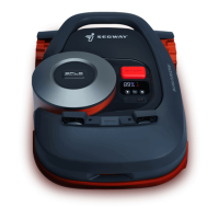
Note: If the mower is in lock status, you must enter the
PIN code before operating the mower. The default code
is 0000 and can be reset via the Navimow app. See 3.1
Display and Control on the Mower.
4
START
Use the Navimow ruler to measure the distance. The
outer side ruler end should not exceed the edge of the
lawn.
Angle: Make sure to follow a straight line with a smooth
turning angle of no smaller than 90°.
Distance from the edge: always keep 15 cm (5.9 in).
Walk along the edge.5
<90°
>90°
>90°
>90°
>90°
>90°
15 cm
(5.9 in)
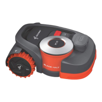
Find a proper starting point along the edge of your lawn
(15 cm (5.9 in) between the mower's right side and the
edge). Keep within 6 m (19.7 ft) from the mower during
the mapping process.
Calibrate the mower to ensure accurate positioning.
24
 Loading...