Do you have a question about the Topcon ES-55 and is the answer not in the manual?
Defines symbols used for WARNING, CAUTION, prohibited items, and mandatory actions.
Covers warnings and cautions regarding the instrument's use, carrying, and setup.
Details safety precautions for battery chargers, batteries, power cords, and connections.
Details laser classes for EDM device and laser pointer as per IEC and FDA standards.
Emphasizes hazards of radiation exposure from controls or procedures not specified.
Advises caution during operation, power off when not in use, and safe disposal of the instrument.
Visual representation of the instrument's operational modes and transitions.
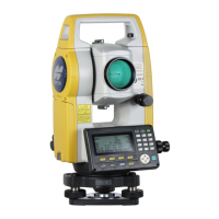
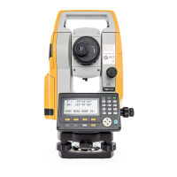
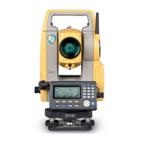
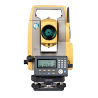
Explains fundamental key operations like Power ON/OFF, backlight control, and target type switching.
Provides instructions and precautions for charging the battery, including temperature ranges.
Step-by-step guide for centering the instrument over the survey point using the optical plummet.
Explains how to level the instrument using circular and electronic levels, and power ON.
Guides on adjusting the eyepiece and focus ring for clear sighting and aligning the target with the reticle.
Details the process of powering on the instrument, including password entry and entering OBS mode.
Describes using the 0SET function to measure the included angle between two points.
Explains how to set a required horizontal angle value (Horizontal Angle Hold) and record it.
Explains how to measure distance and angle simultaneously, including EDM information display.
Describes the REM measurement function for calculating heights of inaccessible points.
Procedure for inputting station coordinates, heights, and azimuth angle before coordinate measurement.
Explains using resection to determine instrument station coordinates by measuring known points.
Describes observing known points to calculate instrument station coordinates for NEZ.
Explains determining only the Z (height) of the instrument station through measurement.
Details measuring target coordinates based on instrument station and backsight station settings.
Explains calculating setting-out angles and distances by inputting coordinates for the target point.
Describes finding points based on horizontal angle from reference direction and distance from instrument.
Procedure for finding points where a target cannot be directly installed using REM.
Explains finding required point coordinates by inputting length and offset based on the baseline.
Procedure for defining an arc by inputting parameters like radius, angle, and point coordinates.
Covers setting measurement patterns, RL observation, and point registration for topography surveys.
Finding distance and coordinate of a plane edge where direct measurement is not possible.
Calculating distance and coordinates of a column's center by measuring circumscription points.
Measuring slope, horizontal distance, and angle to targets without moving the instrument.
Details finding intersection points using length or azimuth angle of reference points.
Explains adjustment methods (Compass, Transit, Weighted, Linear, None) for angles and elevations.
Finds coordinates of center and width pegs for a straight line using reference and IP points.
Calculates coordinates of center and width pegs for a circular curve from BC and IP points.
Finds spiral curve center and width pegs from reference point and curve properties.
Calculates parabola center and width pegs from reference point and curve properties.
Finds coordinates of cardinal points, centerline pegs, and width pegs from 3 IP points.
Calculates coordinates of cardinal points, pegs from intersection angle and curve properties.
Finds center and width pegs for a route with multiple curves, including setting out.
Measures and sets out points along a cross-section of a road or linear feature.
Stores instrument station coordinates, point name, height, codes, operator, date, time, weather, wind, temp, pressure, and atmospheric correction factor.
Allows registering or deleting coordinate data of known points in the current JOB.
Procedure for outputting JOB data, including measurement results and coordinates, to a host computer.
Explains the contents of parameter settings including Observation Condition, Instrument Configuration, and Unit.
Lists error messages related to poor measuring conditions, target sighting, and calculation issues.
Procedure for checking and adjusting the circular level's bubble for accurate leveling.
Procedure to check and cancel tilt zero point error affecting angle measurements.
Procedure for checking and adjusting the optical plummet for accurate centering.
Details tilt sensor type, compensation range, automatic compensator settings, and compensation constant.
Lists measuring method, signal source, measuring range, minimum display, and accuracy for distance measurements.
Details temperature, pressure, ppm input ranges, and prism constant correction.
Procedure to eliminate inaccuracy of the 0 index for high precision angle measurements.
| Brand | Topcon |
|---|---|
| Model | ES-55 |
| Category | Measuring Instruments |
| Language | English |