Principles of Operation
The HDL-32E creates 360° 3D images by using 32 laser/detector pairs whose housing rapidly spins to scan the surrounding environment.
This design allows for the lasers to each fire thousands of times per second, providing a rich, 3D point cloud.
Digital signal processing and waveform analysis provide high accuracy, extended distance sensing and intensity data.
The HDL-32E uses a direct drive motor system, employing no belts or chains in the drive train, to improve reliability and reduce maintenance.
The unit provides:
• A 360° horizontal field of view (FOV)
• A 41.3° vertical FOV
• Usable returns up to 100 meters
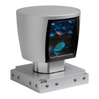
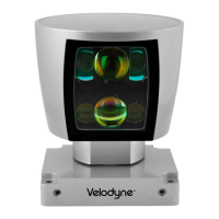
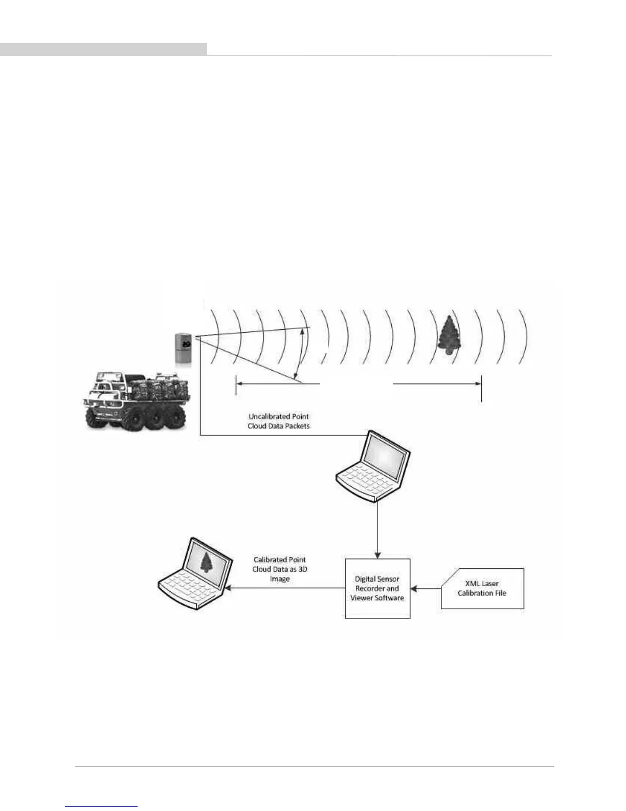
Figure 1. Overview of the LiDAR HDL- 32E 3D Imaging System.
[ 2 ]
H
DL-32E User’s Manual
41.3°
Valid Data Range
5 cm to 100 m
360°
Spinning
LiDAR
Sensor
 Loading...