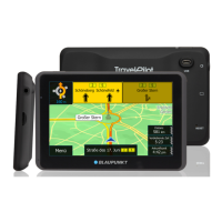
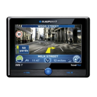
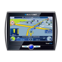
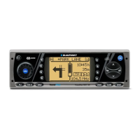
Anhang
Allgemeines Kurzanlei- TourenZieleingabe Zielspeicher Einstellun-
73
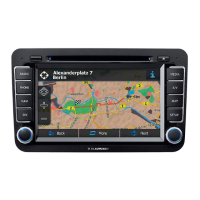
Symbols on the map and their meaning
Line colours
Motorways red
Main national roads yellow
Secondary national roads orange
Secondary roads white
Major residential roads white
Residential roads beige
Track beige
Pedestrian precinct beige
Railway black / white dashes
Stretches of water light blue
National border grey
State/county border is not displayed
Ferry links grey / white dashes
Toll section same colour as road with grey dots
Road with restricted access beige
Route blue
Route using a ferry link blue / transparent dashes
Manually excluded section red / transparent dashes
TMC total blockage red / transparent dashes
TMC traffic congestion red / transparent dashes
TMC heavy traffic red / transparent dashes
Area colours
Stretches of water light blue
Developed areas medium grey
National park light green
Municipal park light green
Woodland green
Moor / heath light brown
Industrial area dark grey
Industrial port light grey
Sand / desert ochre
Island like screen background
Labels
Destination symbol black / yellow flag
Vehicle symbol black / white / blue
Centre of town, small black dot / white border
Centre of town, large black square / white border
Names black

 Loading...