This is a popular method because it is possible to compare the map to the actual terrain. The
following examples use a USGS topographic map.
1. Remove rubber shoe.
2. Adjust for magnetic declination.
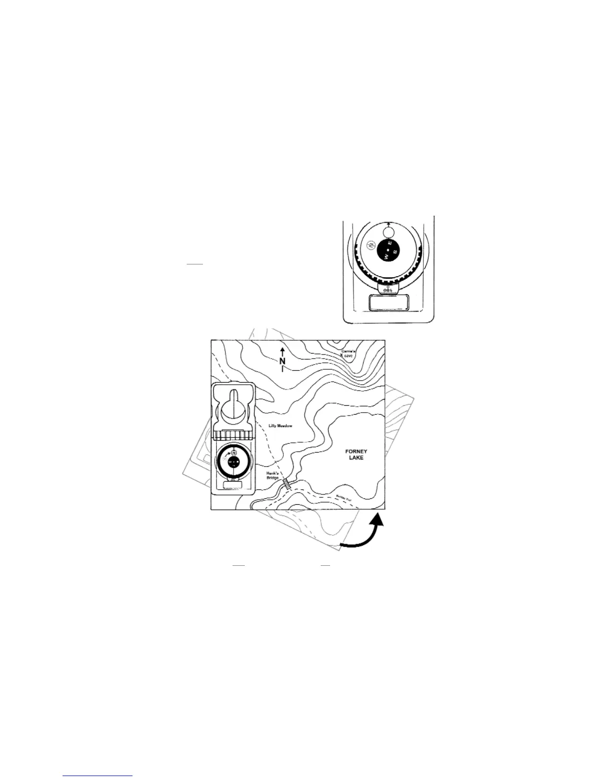
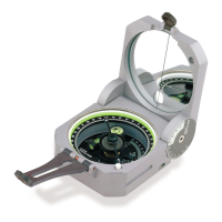
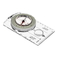
3. Rotate azimuth ring until compass bearing reads 0° --
green
scale, figure 15.
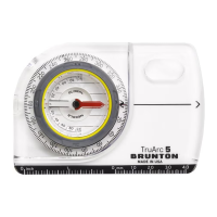
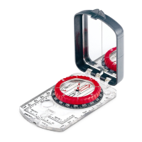
4. With mirrored end of compass pointing to true north on
the map, place the clear base along the map’s margin
(edge of printed map). (Fig 16)
· On maps other than a USGS or BLM, true north-
south may not be aligned with the map’s margin, so
it may be necessary to place the clear base next to
the true north indicator.
5. Rotate map until blue
orienting circle outlines the red circled "N". (Fig 16)
· The compass base should remain along the map’s margin.
9
Figure 16
Figure 15