The topo-map is now aligned with true north. In the field, it is possible to compare the map to
the actual terrain. Now, find the map bearing from one position to another.
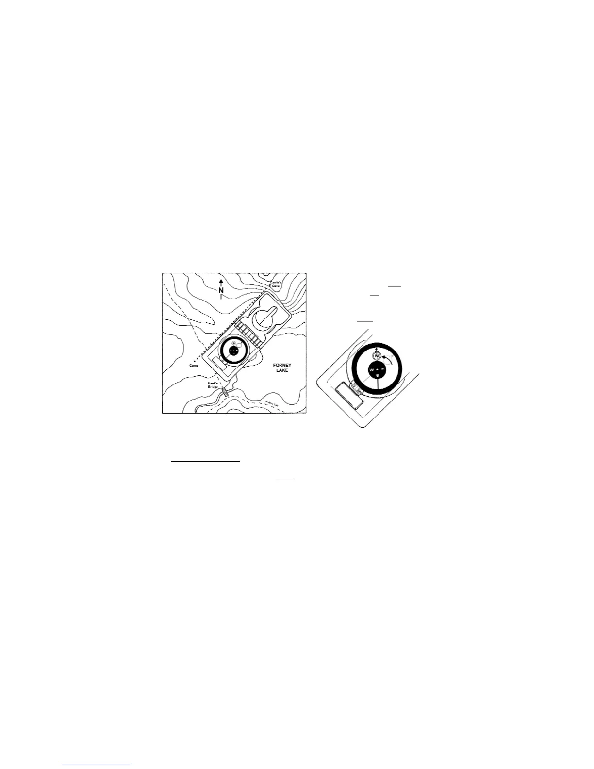
6. Place a "point" at a starting position and an "X" at a destination.
7. Draw a line connecting the "point" and the "X".
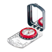
8. Open cover and sight cover as far as possible.
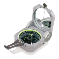
9. With both covers pointing to the "X", position clear base next to the line. (Fig 17)
· Do not move the map.
10. Rotate azimuth ring until blue
orienting
circle outlines the red
circled "N". (Fig
18)
11. Read bearing at the magnified index
line from the green scale. (Fig 18)
This bearing is the map bearing from the starting "point" to the destination.
7.2 Compass Alignment
Another way of finding a map bearing is using the compass alignment method. This method
allows for quick bearing determination, without
aligning the map to true north. Use this method
for pre-planning at home, or in the office. The following example uses a USGS topo-map,
where the margin is aligned to true north.
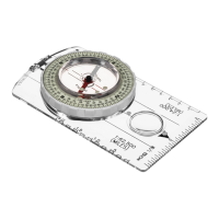
1. Remove rubber shoe.
2. Adjust for magnetic declination, shown on topo-map.
· If your map does not have magnetic declination, adjust to 0° declination.
3. Set a long straight edge next to the map’s margin line (running true north-south).
4. Using a pencil, draw a true north-south line from the bottom to the top of the map.
10
Figure 17
Figure 18