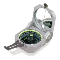
A UTM position is measured
using an easting and a northing
from a known reference point
called a datum. If using a Global
Positioning System (GPS)
receiver, document the zone
number and map datum, since
not every map uses the same
local geodetic datum. (Fig 27)
The following example uses a
1:24,000 scale, 7.5 minute topo-
map, with 1,000 meter grid tick
marks, indicated by the 3 small
zeros in the label (
47
90
000m
E).
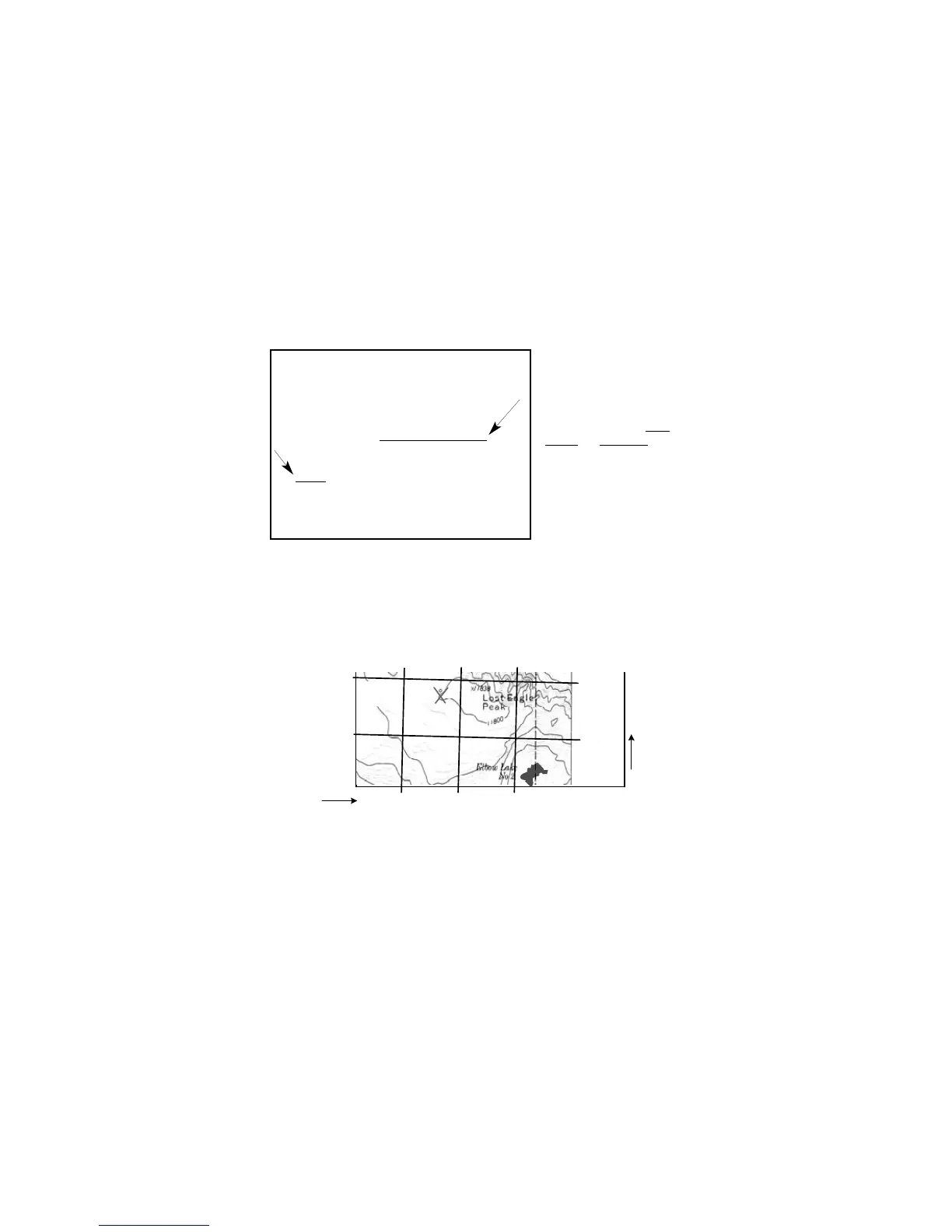
10.1.a -- UTM Grid Coordinate Positioning
This example uses a 1:24,000 map & roamer scale.
1. Locate UTM roamer scales on reference card 6.
2. Identify and document the zone number and map datum (zone 11 & North American
Datum 1927, this example).
3. Identify UTM grid tick marks and labels around the map’s margin.
4. Draw lines connecting equal valued UTM tick marks. (Fig 28)
· A 1,000 meter by 1,000 meter square grid will form.
5. Identify and mark a position on the map with an ‘X’.
15
Figure 28
Mapped, edited, and published by the Geological Survey
Control by USGS and USC&GS
Topography by photogrammeteric methods from aerial
photographs taken 1966. Field checked 1968
Polyconic projection. 1927 North American datum
10,000-foot grid based on Wyoming coordinate system,
west zone
1000-meter Universal Transverse Mercator grid ticks,
zone 12
. shown in blue
Fine red dashed lines indicate selected fence lines
Where omitted, land lines have not been established
Figure 27