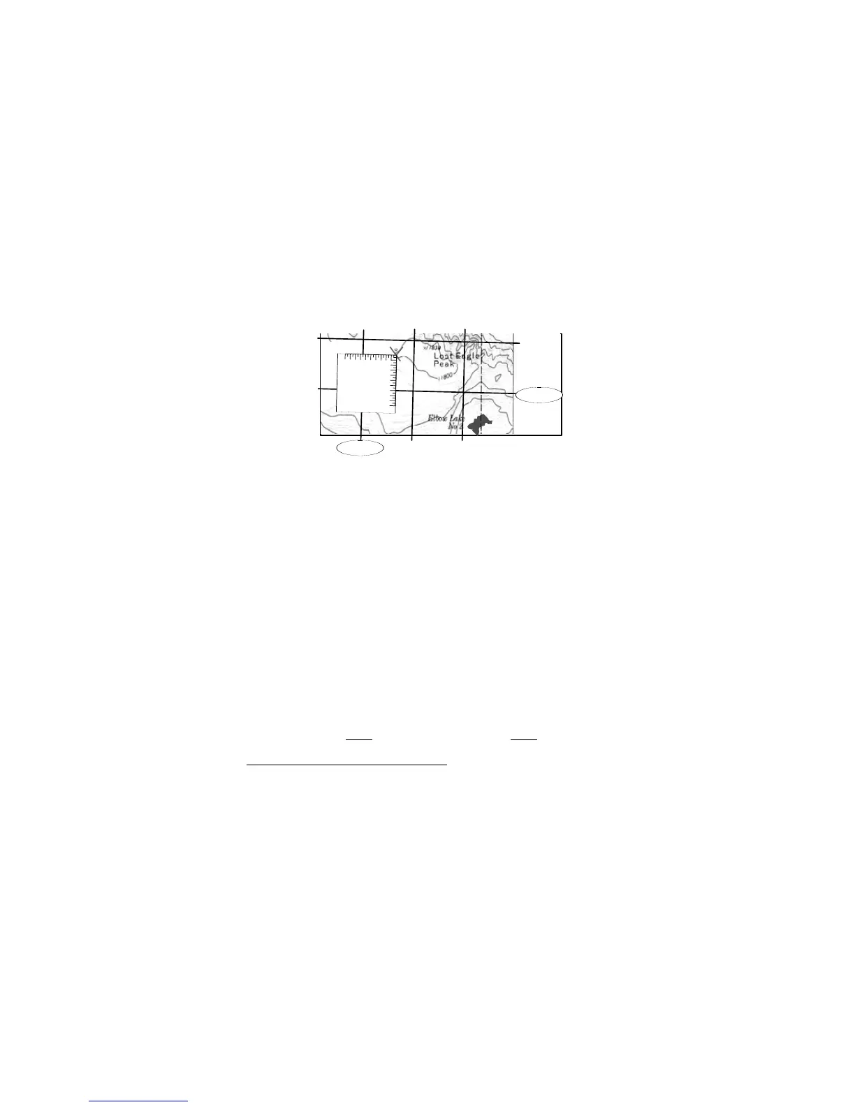
6. Place corner of roamer scale ("0") at the ‘X’, with scale increasing left and down. (Fig 29)
· Make sure roamer scale is parallel to the UTM grid lines.
7. Count from the ‘X’ to the nearest left easting line – 100, 200, … 500, 600 and 650 m.
8. Add 650 meter to the nearest left easting line.
· 650 m E +
5
99
000m
E =
5
99
650m
E
9. Count from the ‘X’ to the nearest northing line, below – 100, 200, …600 and 700 m.
10. Add 700 m to the nearest northing line below the ‘X’.
· 700 m N +
47
90
000m
N =
47
90
700m
N
The final UTM coordinate is:
5
99
650m
E,
47
90
700m
N (zone 11, NAD-27)
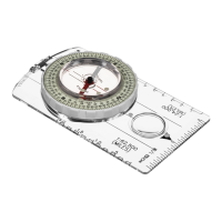
The 1:24,000 roamer scale, in the illustration above, has 50 meter resolution (50 meters
between marks), where the 1:24,000 roamer scale on the 8099 base and quick reference
card 6 provide 20 meter resolution.
The grids change with respect to the scales. So, identify the grid values and grid resolution
when using a UTM grid scale other than 1:24,000.
With UTM grid it is possible to identify a position within 100 meters of the actual position,
without a scale. After identifying tick marks around the map’s margin, and drawing the grid
lines, simply estimate the distance from the lower left-hand corner of the grid that surrounds the
‘X’. Remember, eastings always
increase to the right, and northings always increase up.
10.2 Latitude And Longitude Coordinate System
Latitude and longitude scales are not provided with the Eclipse 8099, but determining a position
using a latitude and longitude scale, or a ruler is an essential navigation skill.
Latitude and longitude is a spherical coordinate system measured from the Earth’s center point
16