Other Operations
●
To view a recorded memo, swipe the displayed map from bottom to top. On
the menu that appears, tap “History”.
●
For information about how to track your route on a map, see “Enabling Route
Tracking on the Map (Route Display)”.
●
For information about map display settings, see “Common Outdoor
Function Settings” and perform one or more of the operations below.
ー
To switch the map between Google Maps
TM
and Mapbox: Map Type
ー
To change the map skin to geographic view or satellite view: Map Skin
Location Memory App Settings
This section explains settings that are particular to the Location Memory app
(“Route Display” and “Revisit”). For information about other setting items, see
“Common Outdoor Function Settings”.
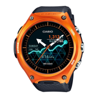
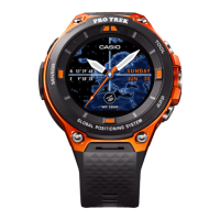
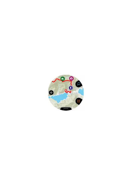
Enabling Route Tracking on the Map (Route Display)
Your route can be tracked on the map.
Your route is normally displayed as a blue line. However, the portion of your
route where you performed an Activity app measurement operation is
indicated by a red line.
EN-26

 Loading...