Do you have a question about the Garmin Alpha 50 and is the answer not in the manual?
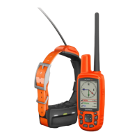
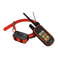
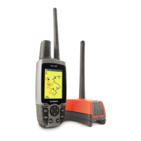
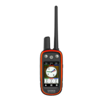
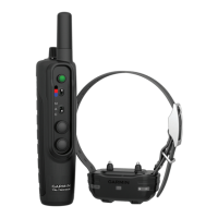
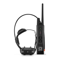
Steps to prepare the handheld and dog collar devices for use.
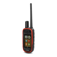
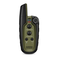
Instructions for installing AA batteries into the handheld device.
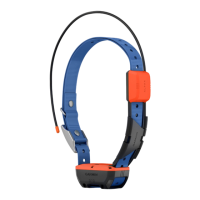
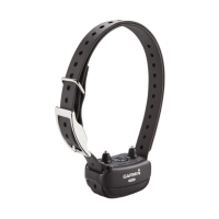
Steps to charge the dog collar device's battery.
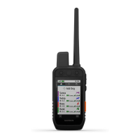
How to view your dog's location on the device map.
Guidance on navigating to your dog's current location.
Instructions for properly fitting the collar on your dog.
Setting alerts for when dogs enter or exit defined areas or radius.
Connecting a dog collar device to the Alpha handheld.
Adding a dog collar using specific track and control codes.
Recording, storing, and managing locations as waypoints.
Saving your vehicle's location for later navigation.
Marking the current position as a waypoint.
Creating a waypoint by selecting a point on the map.
Following directions to a saved waypoint.
Step-by-step process for creating a new route.
Following a previously created route.
Setting up and starting the recording of movement tracks.
Using TracBack to navigate back to the beginning of a track.
Sharing dog tracking data with other users.
Explanation of map display elements and orientation settings.
Overview of the device's 3-axis tilt-compensated compass.
Steps to calibrate the electronic compass for accuracy.
Using the bearing pointer to navigate towards a destination.
How to use the find menu to locate various items.
Pointing the device at an object to navigate to it.
Manually calibrating the altimeter for accurate readings.
Creating alerts for when dogs enter a specific radius.
Changing the data fields displayed on various screens.
Accessing and adjusting system-level settings like GPS and language.
Optimizing route calculation for different activities and modes.
Information on updating software and maps using Garmin tools.
Procedures for updating device software.
Steps for connecting the handheld device to a computer.
Steps for connecting the dog collar device to a computer.
Steps to safely remove the old battery from the T5 device.
Procedures for installing a new battery in the T5 device.
Instructions for replacing the battery in the T5 mini collar device.
Steps to take when the handheld device becomes unresponsive.
How to resolve issues with conflicting dog collar IDs.
Troubleshooting steps for bark detection issues.
| Built-in memory | Yes |
|---|---|
| Tracks quantity | 10000 |
| Number of waypoints | 2000 |
| Compatible memory cards | MicroSD (TransFlash) |
| Built-in memory capacity | 1.7 GB |
| Number of tracklog points | 200 |
| Purpose | PET |
| Product color | Black, Orange |
| Pre-installed maps | TOPO U.S 100K |
| Protection features | Water resistant |
| Transmission distance (max) | 15 km |
| International Protection (IP) code | IPX7 |
| Display resolution | 160 x 240 pixels |
| Display size (HxV) | 36 x 55 mm |
| Display technology | TFT |
| Display number of colors | 65536 colors |
| Battery life (max) | 20 h |
| Battery technology | Nickel-Metal Hydride (NiMH) |
| Number of batteries supported | 2 |
| Cables included | USB |
| Batteries included | No |
| Depth | 36 mm |
|---|---|
| Width | 61 mm |
| Height | 160 mm |
| Weight | 260.1 g |