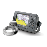
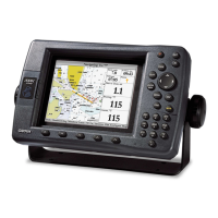
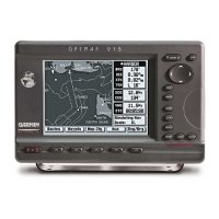
64 GPSMAP 3005C Owner’s Manual
MAIN MENU > MAP TAB
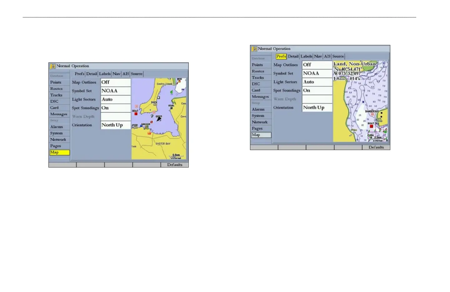
Map Tab
Use the Map tab to change map settings, including map detail, map orientation,
and automatic zoom. Changes made to the Map tab sub tabs affect all maps. For
more information, see page 37.
The Map tab has six sub tabs—Prefs, Detail, Labels, Nav, AIS, and Source.
Prefs Sub Tab
Use the Prefs sub tab to select map preferences.
• Map Outlines—turns coverage boxes on or off for BlueChart/MapSource
data.
• Symbol Set—controls the navaid symbol set:
•
NOAA—all maps are drawn using a symbol set similar to
NOAA/NIMA.
•
International—all maps are drawn using a symbol set similar to the
IALA symbol set.
• Light Sectors
—controls the drawing line sectors on the map. Select Off,
Auto, or On.