8 XM WX Satellite Weather
®
and XM
®
Satellite Radio Supplement
XM WX Satellite Weather and XM Satellite Radio
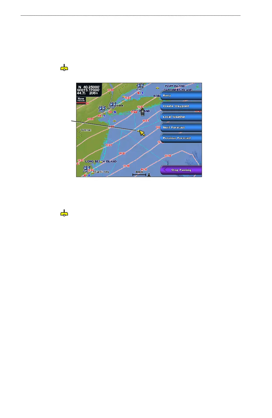
Viewing Buoy Reports
Report readings are taken from buoys and coastal observation stations. These readings are used
to determine air temperature, dew point, water temperature, tide, wave height and period, wind
direction and speed, visibility, and barometric pressure.
1. From the Home screen, select
Weather > Forecast.
2. Select a buoy (
).
3. Select
Buoy.
Buoy
Viewing Local Weather Information Associated with a Buoy
Forecast information appears when an area near a buoy is selected.
1. From the Home screen, select
Weather > Forecast.
2. Select a buoy (
).
3. Select
Local Weather.
4. Complete an action:
Select Current Cond. to view present weather conditions from a local weather service.
Select Forecast to view a local weather forecast.
Select Sea Surface to view surface wind and barometric pressure information.
Select Marine Bulletin to view wind and wave information.
About the Weather Overlay
The Weather Overlay superimposes weather and weather-related information on the Navigation
chart or the Fishing chart on a chartplotter. Weather Overlay settings congured for use on one chart
are not applied to another chart. The Weather Overlay settings for each chart must be congured
separately.
•
•
•
•



 To Next Page