EasyManua.ls Logo

Garmin GPSMAP 62stc User Manual

Garmin GPSMAP 62stc
60 pages
To Next Page IconTo Next Page
Page #1 background imageLoading...
Page #1 background image
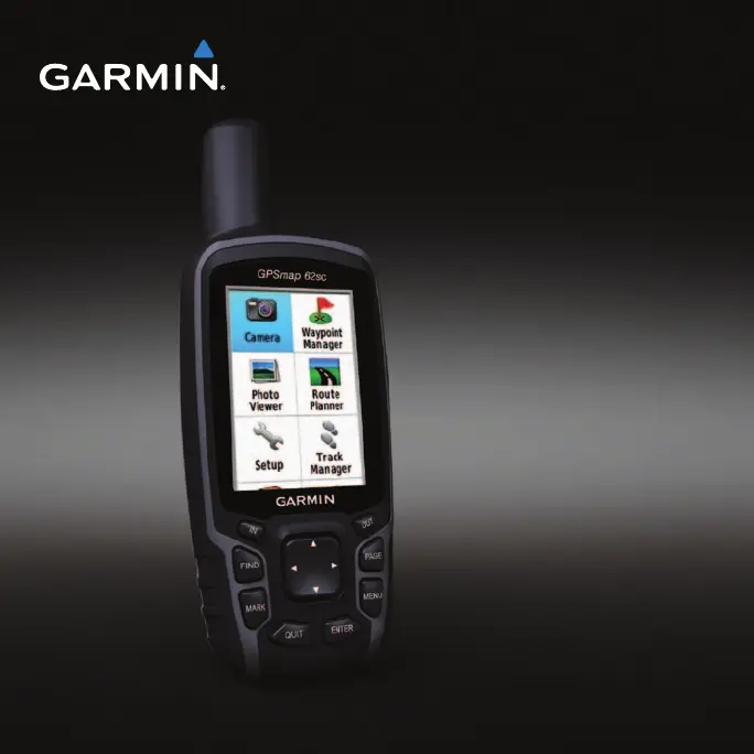
GPSMAP
®
62 series
owners manual
For use with the GPSMAP 62,
62s, 62st, 62sc, and 62stc

Table of Contents

Questions and Answers:

Garmin GPSMAP 62stc Specifications

General IconGeneral
Outdoor (hiking, trekking)Yes
Marine (chartplotters, sounders)No
Routes quantity200
Number of waypoints2000
Navigation protocolsNMEA 0183
Form factorHandheld
Product colorBlack
International Protection (IP) codeIPX7
Map coverageItaly
Display diagonal2.6 \
Display resolution160 x 240 pixels
Display number of colors65536 colors
Display size (HxV) (imperial)2.15 x 1.43 \
Storage media typeSSD
Internal storage capacity3.5 GB
Megapixel5 MP
Supported radio bandsNot supported
Power source typeBattery
Battery life (max)16 h
Battery technologyNickel-Metal Hydride (NiMH)
Number of batteries supported2
Cables includedUSB
Weight and Dimensions IconWeight and Dimensions
Depth36 mm
Width61 mm
Height160 mm
Weight262.1 g

Summary

Getting Started

Manual Conventions

Explains text conventions and button usage for navigation and selection on the GPS device.

Device Overview

Details the physical components and their locations on the GPS device.

Initial Setup and Satellite Acquisition

Covers battery installation, powering on/off, language selection, and satellite acquisition.

Navigating with Waypoints and Routes

Waypoint Management

Covers creating, editing, deleting, and navigating to waypoints using the device.

Route Planning and Navigation

Explains how to create, edit, view, and navigate routes using waypoint sequences.

Tracks

Track Log Management

Covers recording methods, intervals, and managing track logs for navigation.

Track Viewing, Saving, and Deleting

Explains how to view, save, clear, or delete current and saved tracks.

Using the Main Pages

Page Navigation and Customization

Describes navigating main pages, customizing data fields, and restoring default settings.

Map Display and Orientation

Details map display options, orientation settings, and measuring distances on the map.

Compass and Navigation Aids

Covers using the compass, Sight 'N Go, and compass setup options.

Customizing Your Device

Data Field Customization

Explains how to customize displayed data fields and their options.

System, Display, and Tones Settings

Covers GPS modes, language, battery type, display, tones, and screen capture.

Marine Settings and Alarms

Details marine-specific settings and alarm configurations.

Unit, Time, and Position Settings

Guides on customizing unit measurements, time, and position format.

Appendix

Device Registration and Support

Information on registering the device, updating software, and contacting product support.

Device Specifications

Provides technical details like display, resolution, water resistance, weight, and interfaces.

Device Maintenance and Troubleshooting

Guides on cleaning the device, screen, and provides solutions for common troubleshooting issues.

Related product manuals