47
English
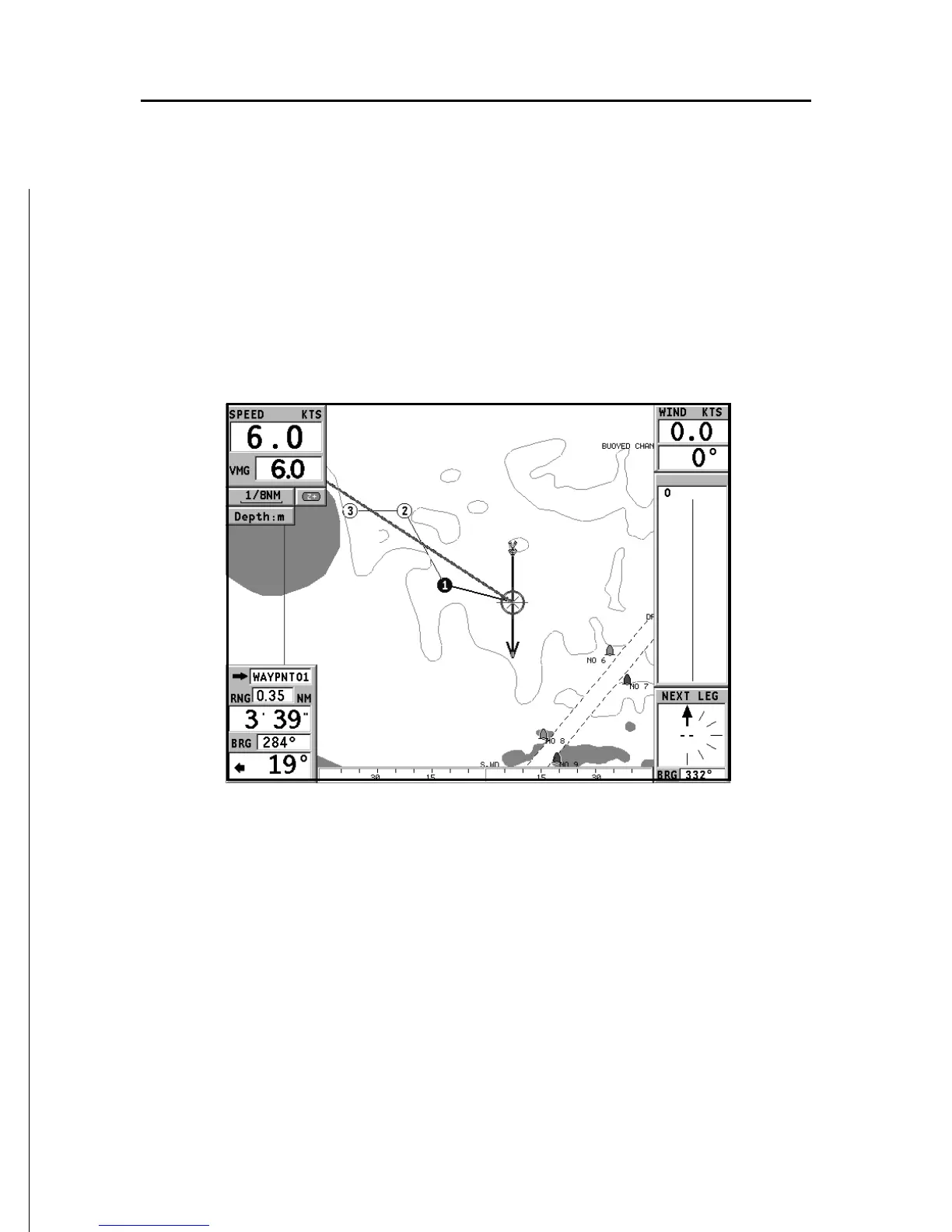
SAILING WINDOWS
These windows are enabled automatically as soon as the GPS
receiver has obtained a valid fix (FIX OK), data is received
from the wind instruments, a route is present and provided
that they have been enabled via the Setup menu.
They display the following information:
• Boat’s speed
• Chart scale
• Target waypoint
• Distance to the target waypoint
• Bearing to the target waypoint
• Angle to steer
• Sea depth (if available)
• Water temperature (if available)
Sailing Windows