51
English
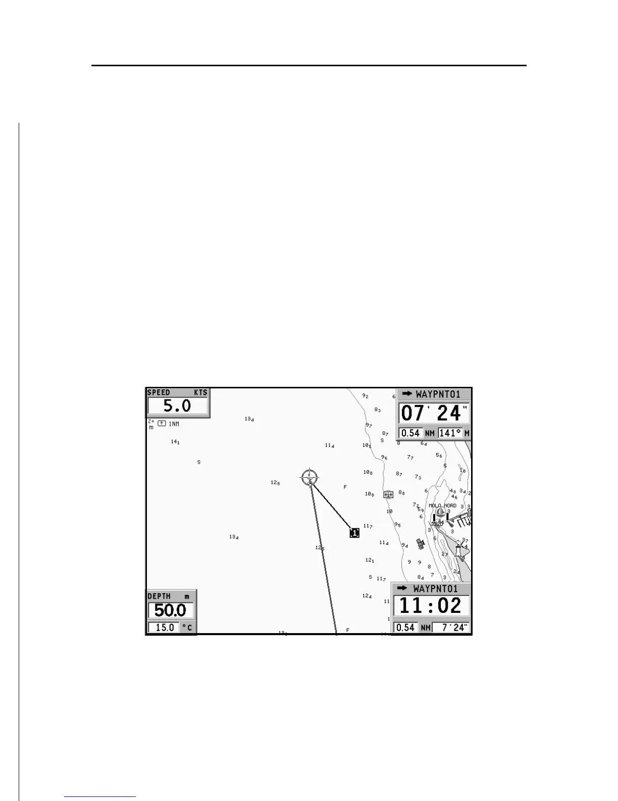
If a route has been entered, the Navigation window will show
the following data:
• Boat’s speed
• Chart scale
• Target waypoint
• Distance to the target waypoint
• Time to arrive to the target waypoint
• Estimated time to the route end
• Sea depth (if available)
• Water temperature (if available)
NOTE: To display sea depth and temperature values, the GEONAV must be inter-
faced with a depth sounder.