56 Infotainment System
Map Adjustments
The scale of view on the map can
be adjusted.
Map Scales
There are two methods to change
the map scale:
1. Turn the MENU/SEL knob
clockwise or counterclockwise to
zoom out or in.
2. Press the Map scale button
which is located on the
bottom left-hand corner of
the map screen to change
the zoom level.
The map scale bar times out if
the zoom level is not changed
within a few seconds.
The scale ranges from 50 m (150 ft)
to 400 km (250 mi). To change from
English to metric, see “Driver
Information Center (DIC)” in the
Index of the vehicle owner manual.
Scroll Features
.
To scroll within the map, press
anywhere on the map screen
and the scroll symbol displays.
.
Tap the map to center that
location on the screen.
.
Hold a finger in any direction
outside of the scroll symbol and
the map will continue to scroll in
that direction until finger is
removed.
.
Scroll speed increases when
touching closer to the edge of
the screen.
.
Press NAV to exit map scrolling
and return to the current vehicle
location on the map.
.
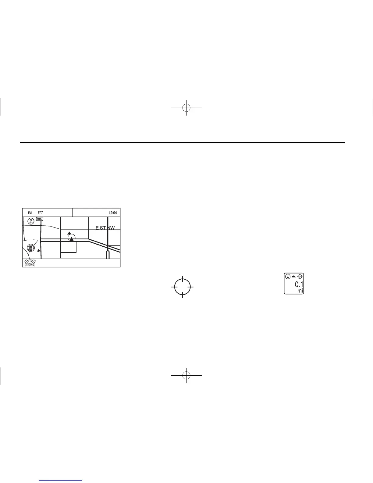
While scrolling the map, this
symbol can display the distance
to the crosshair area.
For example, this shows that the
map has been scrolled, 160 m
(0.1 mi) away from current vehicle
position.