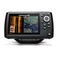
NAVIGATING WITH FISHSMART
Location Services must be enabled on your mobile device for GPS tracking and navigation.
WARNING! This device should not be used as a navigational aid to prevent collision, grounding, boat damage, or personal injury. When the
boat is moving, water depth may change too quickly to allow time for you to react. Always operate the boat at very slow speeds if you
suspect shallow water or submerged objects.
WARNING! The electronic chart is an aid to navigation designed to facilitate the use of authorized government charts, not to replace them.
O
nly official government charts and notices to mariners contain all of the current information needed for the safety of navigation, and the
captain is responsible for their prudent use.
WARNING! You should always be aware of your surroundings and watch for any potential obstacles.
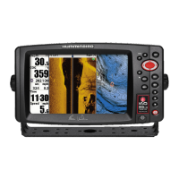
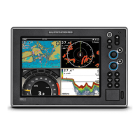
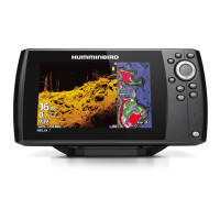
What’s on the Navigation Display
When you start navigation, the chart orientation icon displays the current setting (North-Up, Head-Up, or Center Vessel) and the
following digital readouts display on the screen:
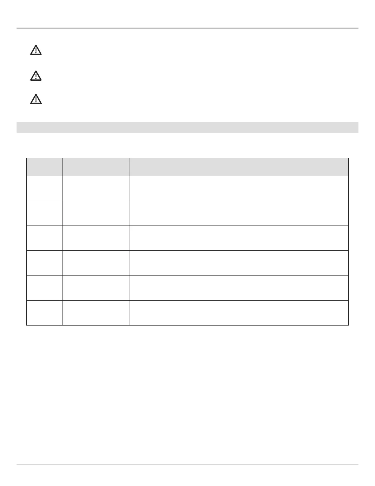
Label Name Description
DTN Distance to Next The distance between the boat position and the next waypoint on the route.
TTN Time to Next The estimated time required to reach the next waypoint on the route.
DTE Distance to Next The distance between the boat position and the last waypoint on the route.
TTE Time to End The estimated time required to reach the last waypoint on the route.
CTS Course to Steer The estimated course that the boat should steer in order to arrive at a waypoint.
XTE Cross Track Error
The straight-line distance of the boat from the intended route. XTE measures
how far the boat is off course.
32
Navigating with FishSmart