EasyManua.ls Logo

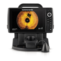
Humminbird HELIX 12 User Manual

Humminbird HELIX 12
191 pages
To Next Page IconTo Next Page
Page #1 background imageLoading...
Page #1 background image
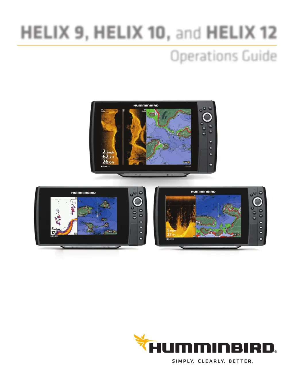
HELIX 9, HELIX 10, and HELIX 12
Operations Guide
532400-2EN_A

Table of Contents

Other manuals for Humminbird HELIX 12

Questions and Answers:

Humminbird HELIX 12 Specifications

General IconGeneral
BacklightLED
Power Input10-20 VDC
ChartplottingYes
Humminbird BasemapYes
LakeMaster CompatibilityYes
Navionics CompatibilityYes
i-Pilot Link CompatibilityYes
Radar CompatibilityYes
NMEA2000Yes
NMEA0183Yes
NetworkingEthernet
Water RatingIPX7
Display Size12.1 inches
Resolution1280 x 800 pixels
SonarCHIRP Sonar
Sonar Frequencies Supported83/200 kHz, 455/800 kHz
Target Separation2.5 inches
Maximum Depth1500 feet
TemperatureBuilt-In
SpeedBuilt-in sensor
GPSBuilt-in
Card ReaderYes
TransducerIncluded

Summary

Introduction

How to Use This Manual

Instructions on how to open, read, and search the manual using PDF reader.

Getting Started

Power On

Steps to power on the Humminbird control head and select startup mode.

Quick Setup

Initial setup of language, depth, water type, and connected transducer.

Check GPS Reception

Instructions to verify GPS signal strength and fix type for accurate positioning.

Set Alarms

How to enable and configure various audible and visual alerts for navigation and system status.

Helix Control Head

Control Head Keys

Overview and function of each physical button and key on the control head unit.

SD Card Slot(s)

Information on using the SD card for software updates, maps, and data storage.

Menu System Overview

Open the Main Menu

Accessing the primary menu with categorized options like Sonar, Navigation, Setup.

Change the User Mode (Normal or Advanced)

Switching between user modes to simplify or reveal advanced menu options.

Views

Display a View

How to select and display different data views like Sonar, Chart, or Radar.

Combo Views

Displaying multiple data views simultaneously on the screen for comprehensive information.

Display Digital Readouts

Customizing how data like speed, depth, and temperature are shown on screen.

Sonar Overview (Sonar, DI, SI, CHIRP)

DualBeam PLUS Sonar (HELIX SONAR GPS)

Explanation of the DualBeam PLUS sonar technology and its coverage patterns.

Side Imaging Sonar (HELIX SI GPS)

Details on Side Imaging sonar, its wide coverage, and depth performance.

Down Imaging Sonar (HELIX DI GPS)

Information on Down Imaging sonar, its thin beams, and image quality.

Set Up Sonar (SONAR, DI, SI, CHIRP)

Set up an Accessory Transducer

Connecting and configuring a new transducer for optimal sonar performance.

Adjust the Noise Filter

Reducing sonar interference from engine noise, turbulence, or other devices.

Select Frequencies for the 2D View

Choosing specific transducer beams and frequencies for the 2D Sonar view.

Adjust Sonar Display Settings

Filter Surface Clutter

Reducing noise at the top of the sonar display caused by algae or aeration.

Change the SwitchFire Mode

Selecting Clear Mode or Max Mode to control how sonar returns are displayed.

Turn on/off Fish ID+ Settings

Enabling or disabling fish identification symbols and adjusting sensitivity.

Navigation in Sonar Views

Mark a Waypoint

Saving a specific location as a waypoint on the sonar display.

Navigate to a Position

Starting navigation to a selected waypoint or cursor position on the sonar view.

Customize the Down Imaging View

Change the View Colors

Selecting different color palettes for Down Imaging sonar returns.

Customize the Side Imaging View

Show/Hide SI Range Lines

Displaying or hiding range lines to help estimate object locations in Side Imaging.

Manage Screen Snapshots and Recordings

Record and Playback

Recording sonar data and playing back recorded sessions for analysis.

Chart Overview

Display a Chart View On-Screen

How to display and customize the navigational chart view.

Select a Chart Source

Selecting the map data source, either built-in or from an SD card.

Customize the Chart View

Adjusting background color, north indicator, and chart projection lines.

Navigation Overview

Navigation Alarms Overview

Setting up and understanding alarms for off-course, arrival, and drift conditions.

Man Overboard (MOB) Navigation

Activating and using the Man Overboard function for immediate return to a lost person.

Waypoints

Mark Waypoints

Saving specific locations as waypoints, either at the boat or cursor position.

Routes

Create a Route and Start Navigation

Linking waypoints to create a navigation path and starting navigation along the route.

Tracks

Change New Track Settings

Customizing the appearance and behavior of new tracks recorded on the unit.

Search

Search for a Lake

Finding and displaying specific lakes from the installed map card on the chart view.

Manage Your Navigation Data

Open the Waypoint Management Dialog Box

Accessing the central interface for managing waypoints, routes, and tracks.

Manage Waypoints

Editing, duplicating, moving, and managing individual waypoints.

Manage Routes

Editing, creating, and managing navigation routes by linking waypoints.

Manage Tracks

Editing, saving, and managing recorded boat tracks for navigation history.

AutoChart Live Overview

Plan Your Map

Strategies and tips for planning areas to map using AutoChart Live.

1. Prepare the Control Head for Mapping

Steps to set up the unit, map source, and transducers for mapping.

2. Record Your Custom Map

Instructions on starting and conducting the mapping process with AutoChart Live.

3. Stop Recording

Procedures for stopping the mapping process and managing recorded data.

Manage Your Control Head

Select an Installed GPS Receiver

Choosing the active GPS receiver when multiple are installed or available.

Update the Control Head Software

Downloading and installing the latest software updates for the control head.

Maintenance

Control Head Maintenance

Cleaning and care instructions for the control head screen and unit.

Troubleshooting

Control Head Doesn’t Power Up

Troubleshooting steps for when the control head fails to power on.

Control Head Doesn’t Detect the Connected Transducer

Steps to diagnose and resolve issues with the control head not recognizing the transducer.

Display Problems

Common display issues and their potential solutions, including noise and signal loss.

Specifications

HELIX 9 SONAR GPS

Technical specifications for the HELIX 9 Sonar GPS model.

HELIX 10 SONAR GPS

Technical specifications for the HELIX 10 Sonar GPS model.

HELIX 12 CHIRP GPS

Technical specifications for the HELIX 12 CHIRP GPS model.

HELIX 9 Control Head Measurements

Physical dimensions and mounting information for the HELIX 9 control head.

Linux Operating System

Contact Humminbird

Related product manuals