3.8 DISPLAY NAVIGATION INFORMATION (NEW INFORMATION DISPLAY)
3ņ84
3
y
y y
3.8 DISPLAY NAVIGATION INFORMATION
(NAV INFORMATION DISPLAY)
Navigation information such as waypoint marks, and a maximum of 256 points of NAV lines, coastlines, depth
contours, and NAV marks can be displayed, created, read, saved, corrected, and deleted. (This function is
available only when navigation equipment is connected with the system.)
Note: Navigation information is available between latitudes of 85ºN and 85ºS.
3.8.1 Display Waypoint Marks (Waypoint Display)
When waypoint information is received from the navigation equipment, the waypoint mark appears on the
radar display. In this case,
佘W is indicated as the waypoint mark on the radar display.
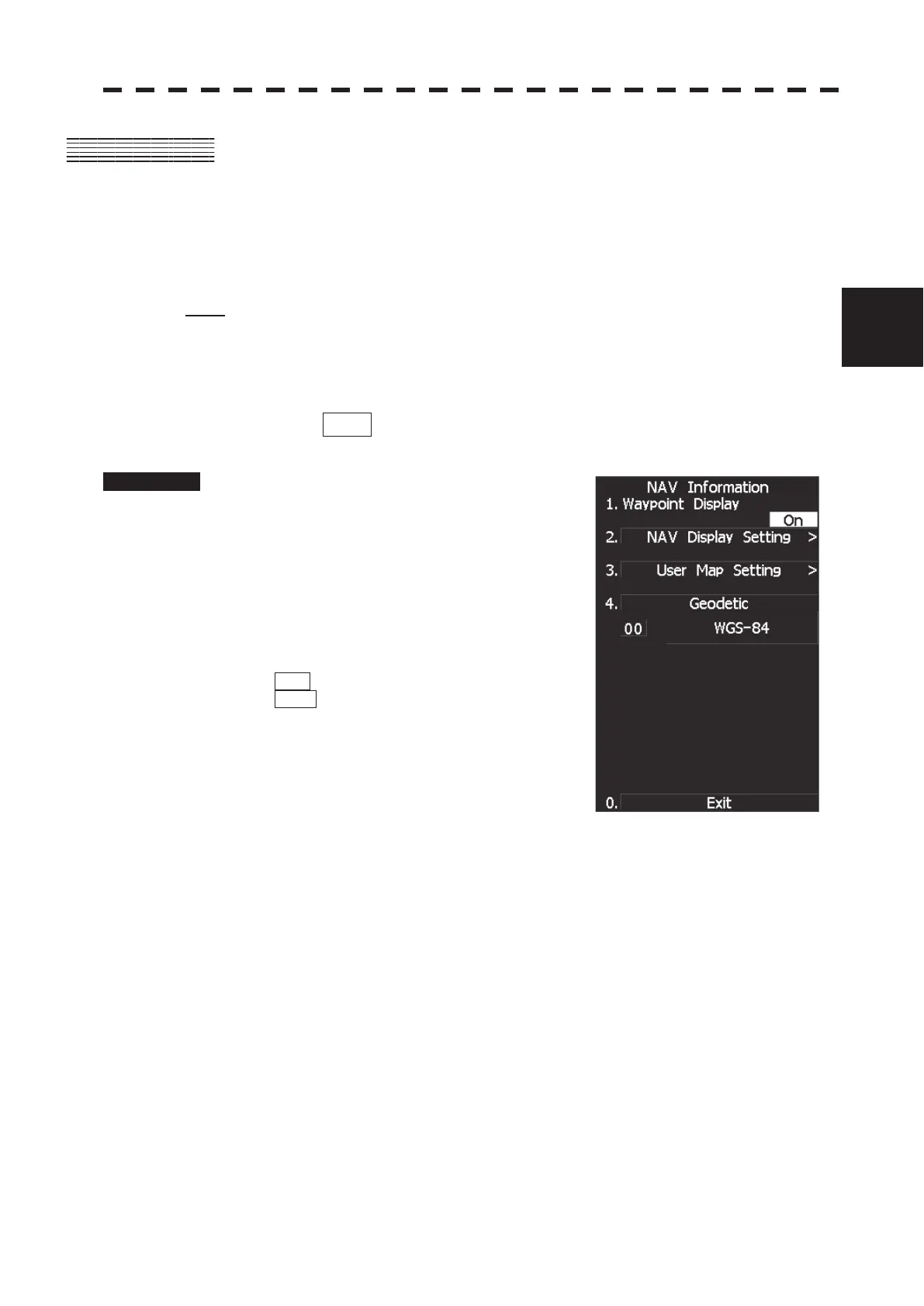
Procedure 1 Press [RADAR MENU] key twice.
Press [6] key.
The NAV Information Menu will appear.
2 Press [1] key.
The setting of Waypoint Display will be
switched between ON and OFF.
ON : Displays waypoint marks.
OFF : Does not display waypoint marks.
Waypoint marks are displayed only when NMEA sentences are used to receive Waypoint
information. A plotter function (option) is needed to make Waypoint in this radar.
 Loading...