Do you have a question about the Lowrance ELITE TI and is the answer not in the manual?
Identifies and describes the physical buttons on the unit.
Provides quick access to essential system settings and functions.
Guides users on interacting with the unit's interface elements.
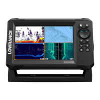
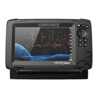
Overview of the chart display, its elements, and features.
Step-by-step guide for planning and saving navigation routes.
Accessing advanced editing and settings for waypoints, routes, and trails.
Creating, saving, moving, editing, and deleting waypoints.
Step-by-step guide to creating and modifying navigation routes.
Information shown on the steer panel, including bearing and destination.
Setting a course to a specific location identified by the cursor.
Following a pre-planned navigation route from waypoint to waypoint.
Using the autopilot system for automated vessel steering.
Adjusting parameters like arrival radius, XTE limits, and logging types.
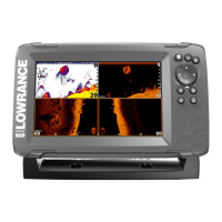
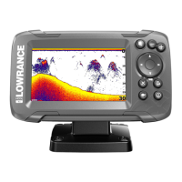
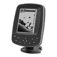
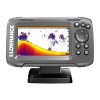
Interpreting the sonar display, including fish arches and bottom structure.
Configuring range, frequency, and sensitivity for optimal sonar performance.
Interpreting the high-resolution images of seabed structure.
Configuring range, frequencies, and contrast for optimal image quality.
Visualizing underwater environments by overlaying SideScan data on charts.
Essential safety precautions and guidelines for using the autopilot.
Overview of the autopilot controller, information bar, and modes.
How the autopilot manages heading, position, and navigation.
Using navigation modes and controlling trolling motor speed.
Establishing and managing Wi-Fi connections for system features.
Connecting to and pairing with Bluetooth-enabled devices.
Locating and accessing detailed information for AIS targets.
How the system monitors and reports dangerous situations and faults.
Steps to confirm, clear, or disable active alarms.
Guides users on common touch interactions like tap, press, scroll, and pan.
| Resolution | 800 x 480 |
|---|---|
| GPS | Yes |
| Touchscreen | Yes |
| Waterproof | IPX7 |
| Card Slot | MicroSD |
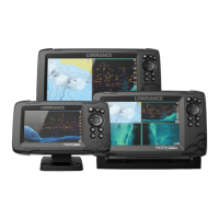
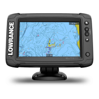
| Display Size | 7-inch, 9-inch, or 12-inch |
| Sonar | CHIRP, DownScan Imaging, SideScan |
| Networking | NMEA 2000 |
| Transducer | Included |
| Operating Temperature | -15°C to 55°C |
| Storage Temperature | -20°C to 60°C |
| Power Input | 12 VDC (10.8-17VDC min-max) |