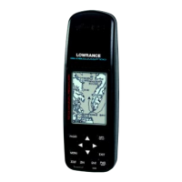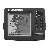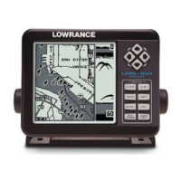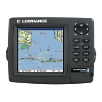
Do you have a question about the Lowrance GlobalMap 6500C and is the answer not in the manual?
Explains how the GlobalMap unit scans the sky to determine position and direction.
Details the Global Positioning System and the Wide Area Augmentation System.
Steps to prepare before installing the GPS unit and antenna module.
Explains power/data cable connections for the unit and NMEA 2000 buss.
Provides detailed information on satellite lock-on and position acquisition.
Shows compass rose, track, and navigation data to waypoints or routes.
Displays a bird's-eye view of the map, showing course, track, and destination.
Information on creating, saving, and navigating routes.
Covers creating, saving, displaying, and navigating trails.
Marks the current position as a Man Overboard waypoint.
Provides navigation guidance back to the Man Overboard position.
Details how to create and save a trail (plot trail) of your travel path.
Covers managing waypoints including deleting, editing, and setting.
Guide to editing waypoint names, symbols, and positions.
Configuration of arrival, off-course, and anchor alarms.
Customizes data boxes displayed on various page screens.
Allows practicing navigation features without actual GPS signal.
Allows floating or overlaying additional navigation data on screen.
Resets all unit features to their factory default settings.
Adjusts the display's contrast and brightness levels.
Searches for specific addresses by entering street and city information.
Searches for various Points of Interest (POI) by name or nearest.
Locates specific streets or intersections.
Locates intersections by specifying two street names.
Searches for waypoints by name or by proximity.
