Do you have a question about the Lowrance GlobalMap 7200C and is the answer not in the manual?
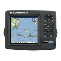
| Display Size | 7 inches |
|---|---|
| Display Type | Color TFT |
| Chartplotter | Yes |
| Sonar Support | Yes |
| Waterproof Rating | IPX7 |
| Waterproof | Yes |
| Routes | 100 |
| Power Supply | 12V DC |
| Cartography | Navionics |
| Waypoints | 3000 |
| Track Log | 1000 points |
Steps to prepare for GPS unit installation.
Explains the power/data cable and its wire connections.
Details options for mounting the GlobalMap unit.
Instructions for installing memory cards for data storage.
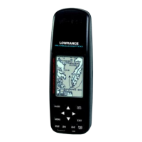
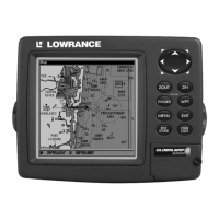
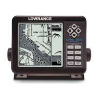
Details the unit's keyboard and primary control functions.
Explains Map Page, zoom, and cursor movement for map viewing.
Covers creating, saving, navigating, and managing waypoints and trails.
Information on transferring GPS data files and maps.
Measures distance between points on the map.
Creating, deleting, and navigating to map icons.
Creating, editing, and navigating saved routes.
Editing, deleting, and managing recorded trails.
Accesses tools like calculators and manages waypoints.
Configuring arrival, off-course, and anchor alarms.
Configuring ports, NMEA, and managing memory cards.
Adjusting map orientation, datum, and display elements.
Using GPS simulator and auto-zoom features.
Changing screen settings, language, time, and system resets.
Finding addresses, streets, and intersections.
Searching for POIs and highway exits.
Finding waypoints and map features.
Configuring NMEA 2000 network bus and devices.
Managing fuel data and calibrating fuel sensors.
Configuring EP sensors like temperature and fluid level.
Setting up and calibrating Suzuki engine interfaces.
Calibrating Bennett Trim Tabs.
List of geodetic datums supported by the unit.