Do you have a question about the Magellan Triton 2000 and is the answer not in the manual?
| Display Size | 3.5 inches |
|---|---|
| Display Type | TFT LCD |
| Display Resolution | 320 x 240 pixels |
| Battery Life | 10 hours |
| Water Resistance | IPX7 |
| GPS Receiver | SiRFstarIII |
| Expandable Memory | microSD card slot |
| Preloaded Maps | Yes |
| Battery | Rechargeable lithium-ion |
| Connectivity | USB |
Advises against using the navigation device while driving and stresses the importance of focusing on the road for accident prevention.
Highlights the need for good judgment and careful use of the GPS device, noting it does not replace personal navigation skills.
Details FCC rules compliance for digital devices, potential interference, and user responsibilities for correction.
Covers IC statements regarding device operation, interference acceptance, and RF exposure limits for uncontrolled environments.
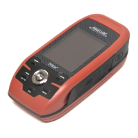
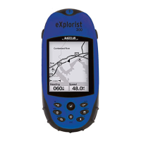
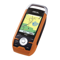
Details the device's features including touchscreen, ease-of-use, routes, accuracy, compass, barometer, maps, camera, and media capabilities.
Explains the compass display, data fields, calibration, and true north setting.
Provides definitions for data fields like Cross Track Error (XTE), Speed, Accuracy, and Velocity Made Good (VMG).
Setting up and customizing profiles for different activities like Hiking, Marine, and Geocaching.
Additional methods for creating waypoints from map points and custom coordinates.
Procedures for editing existing waypoints and deleting them from memory.
Instructions for adding new geocache waypoints, including details like difficulty and terrain.
How to modify existing geocache waypoint information.
Procedures for removing geocache waypoints from the device.
Instructions on how to select and begin navigating a saved route.
Additional methods for creating 'Go To' routes using place and geocache waypoints.
Step-by-step guide to building routes with multiple destinations.
Procedures for deleting, duplicating, and viewing a route's vertical profile.
Steps for saving tracks as trails and using alternate methods for trail creation.
Procedures for removing trails from memory, including alternate methods.
Hiding/showing trails on the map and activating the backtrack route feature.
How to find predefined locations like roads and cities on the device's base map.
How to find predefined locations on optional detailed maps.
Instructions for using the device's camera, including tools and photo options.
Guides for using the device to record video clips and audio notes.