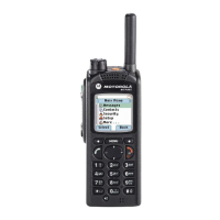
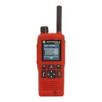
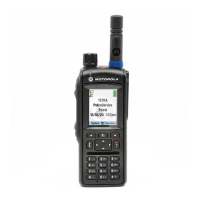
5.17.3
GNSS Icon
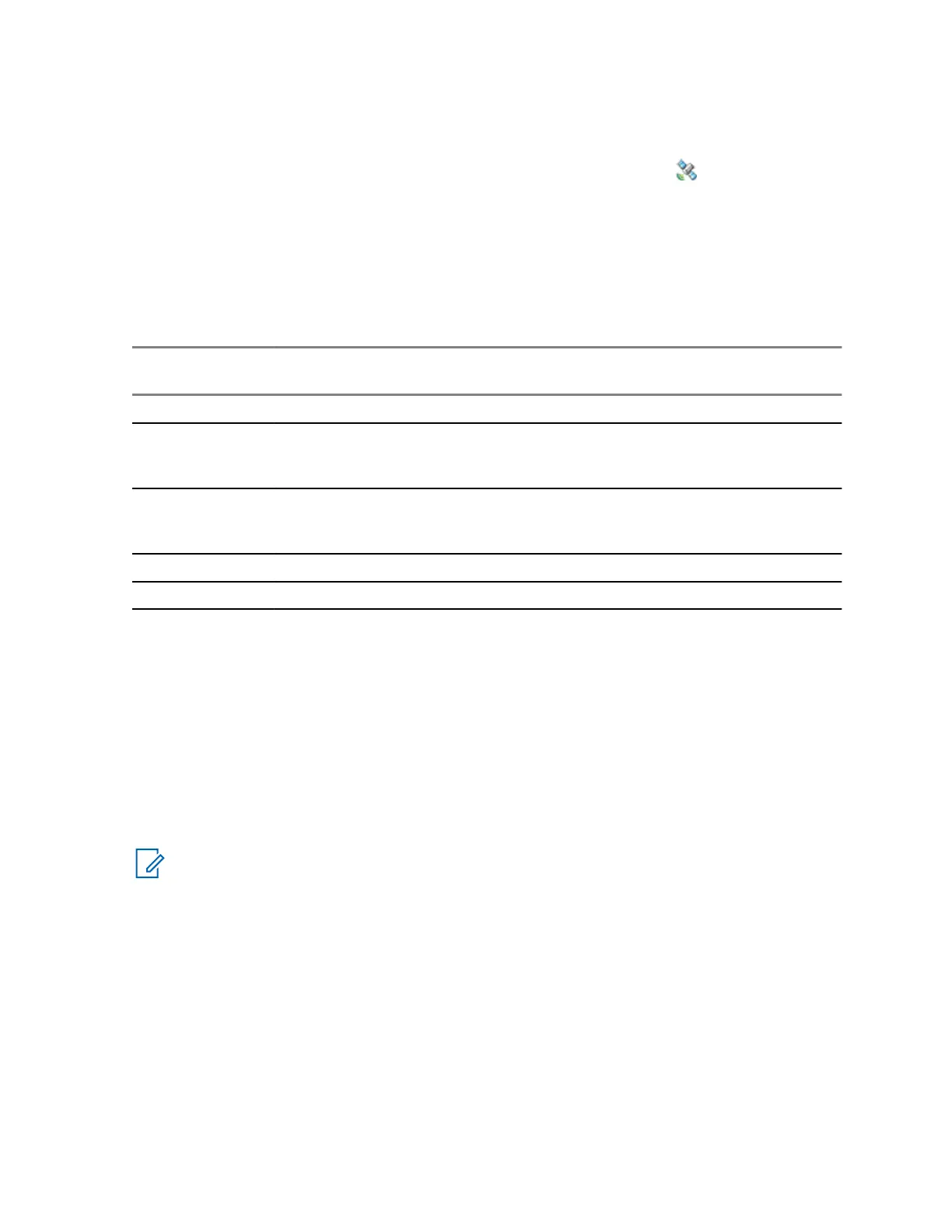
When GNSS is enabled, the following icon is displayed in the status icon area:
.
Depending on the current GNSS state, the icon can be solid – GNSS has a fix, or blinking – GNSS is
searching for a fix. The blinking GNSS icon can be disabled/enabled by your service provider.
5.17.4
Different Location Displays
Table 23: Different Location Displays
Latitude / Lon-
gitude
UK Coordinates
Irish Coordi-
nates
UTM Coordi-
nates
MGRS Coordi-
nates
Time Time Time Time Time
Latitude 2-Letter Code 1-Letter Code 3-Letter Code 3-Letter Code
and 2-Letter
Code
Longitude Easting and
Northing Coordi-
nate
Easting and
Northing Coordi-
nate
Easting and
Northing Coordi-
nate
Easting and
Northing Coordi-
nate
Altitude Altitude Altitude Altitude Altitude
Satellites Satellites Satellites Satellites Satellites
• Time - indicates when the last time the location was calculated. The time is provided in Universal
Time Coordinated.
• Letter Code - grid zone or square on the map for different coordinate standard
• Latitude - expressed in degrees, minutes, and seconds.
• Longitude - expressed in degrees, minutes, and seconds.
• Number of satellites - used to calculate the location. In general, more satellites make for better
accuracy. The maximum is 12 satellites.
• Easting - refers to the eastward-measured distance expressed in meters.
• Northing - refers to the northward-measured distance expressed in meters.
NOTICE:
Skipping each digit of easting and northing coordinates decreases the accuracy by
the factor of 10.
5.17.5
Global Navigation Satellite System (GNSS) Accuracy
The Global Navigation Satellite System (GNSS) Location Service accuracy depends on the GNSS
coverage and the selected accuracy mode.
In good GNSS coverage (at least -137 dBm or in open sky), the location accuracy presents as follows:
• In high accuracy mode, the accuracy is:
- 5 m for 50% of location reports.
- 10 m for 95% of location reports.
• In power optimized or normal mode, the accuracy is:
MN002033A01–AC (en-US)
Chapter 5: Features
Send Feedback 143
 Loading...