Do you have a question about the Raymarine C120 and is the answer not in the manual?
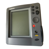
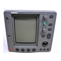
Overview of all physical buttons and their functions on the display unit.
Explains how buttons, soft keys, and cursor interact with the display interface.
Guides on selecting page sets, pages, and managing multiple windows.
Instructions for inserting and removing CompactFlash cards for data storage.
Learn what information the chart displays and how to interpret it.
How to change chart orientation and motion mode for better viewing.
Accessing detailed object information, nearby services, and tidal data.
How to create, navigate to, and manage waypoints on the device.
Building and following routes using waypoints for navigation.
Interpreting radar displays, measuring distances, and ranges.
Using radar guard zones and overlays to prevent collisions.
Automatic Radar Plotting Aid for target tracking and risk analysis.
Displaying and interpreting Automatic Identification System data for vessel tracking.
Using the Course Deviation Indicator (CDI) to maintain a set course.
Interpreting fishfinder screen data and bottom structures.
Adjusting fishfinder settings like range, frequency, gain, and zoom.
Viewing engine status, fuel, and other onboard data.
Receiving and managing weather forecasts and marine warnings.
| Display Size | 12.1 inches |
|---|---|
| GPS | Yes |
| Chartplotter | Yes |
| Radar Compatible | Yes |
| Waterproof Rating | IPX6 |
| Resolution | 800 x 600 pixels |
| Display Type | Color LCD |
| Fishfinder Compatible | Yes |
| NMEA | NMEA 0183 |
| GPS Receiver | 12 channel |
| Chart Compatibility | Navionics |
| Radar Compatibility | Raymarine radar systems |
| Sonar Compatibility | Raymarine DSM Digital Sounder Modules |
| Input Voltage | 10-32V DC |
| Weight | 9.2 lbs |