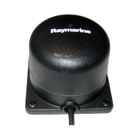
GPS
•12channelreceiver
•Sirfstarchipsetforhighsensitivity
andrapidx
•Frequencyofoperation:1575.43
Mhz+/-1Mhz(C/Acode),L1
•Sensitivity:–159dBm(tracking),
–142dBmacquisition·
•SignalAcquisition:Automatic
•ColdStart35secondsto2.5
minutesundergoodsignal
conditions
•SBAS:WAAS/EGNOScompatible
•Almanacupdate:Automatic
•HorizontalPositionalAccuracy:
<=15metre@95%oftime(without
SA),<=5metres@95%with
WAAS/EGNOS
•GeodeticDatum:WGS-84
(alternativesavailablethrough
Raymarinedisplay)
•Updaterate:Onceasecond
•Helicalantennaforevenantenna
gainacrossmostdisplay
orientations
•GPSdatabridgedtoNMEA0183,
SeaTalkandSeaTalk
ng
outputs.
Cartography
Navionicsembeddedcartography
appropriatetopurchaseregion.(North
America,EuropeorRestofWorld,as
appropriate)
Conformance•Europe:R&TTE1999/5/EC
•AustraliaandNewZealand:C-Tick,
ComplianceLevel2
Technicalspecication
75

 Loading...