EasyManua.ls Logo

Raymarine Raychart 320 User Manual

Raymarine Raychart 320
139 pages
To Next Page IconTo Next Page
Page #1 background imageLoading...
Page #1 background image
Distributed by
Any reference to Raytheon or
RTN in this manual should be
interpreted as Raymarine.
The names Raytheon and RTN
are owned by the
Raytheon Company.

Table of Contents

Other manuals for Raymarine Raychart 320

Question and Answer IconNeed help?

Do you have a question about the Raymarine Raychart 320 and is the answer not in the manual?

Raymarine Raychart 320 Specifications

General IconGeneral
BrandRaymarine
ModelRaychart 320
CategoryGPS
LanguageEnglish

Summary

Safety Notices

WAAS Satellite Differential GPS

Explains WAAS functionality and its use in GPS augmentation.

Chapter 1: Overview

Chapter 2: Getting Started

Chapter 3: Operation

Chart and Display Operations

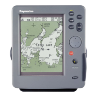
Covers chart cards, data display, objects, port, tide, display modes, and data pages.

Waypoint and Route Navigation

Details waypoint management, route creation, following, and Man Overboard (MOB) functions.

Chapter 4: Setting Up the Chartplotter

GPS Setup Options

Configures GPS fix mode, differential GPS, SOG/COG filter, and NMEA input.

Chapter 5: Installation

GPS Antenna and Chartplotter Mounting

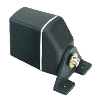
Details installation procedures for the GPS antenna and chartplotter unit.

Connections and System Checks

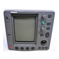
Guides on connecting cables, powering up, and performing initial system checks.

Chapter 6: Maintenance & Fault Finding

System Reset and Troubleshooting

Covers system reset options and a guide to solving common operational problems.

Appendix A: Technical Summary

Related product manuals