Hussar Robot Chassis Manual
Smart Restaurant Solutions 16
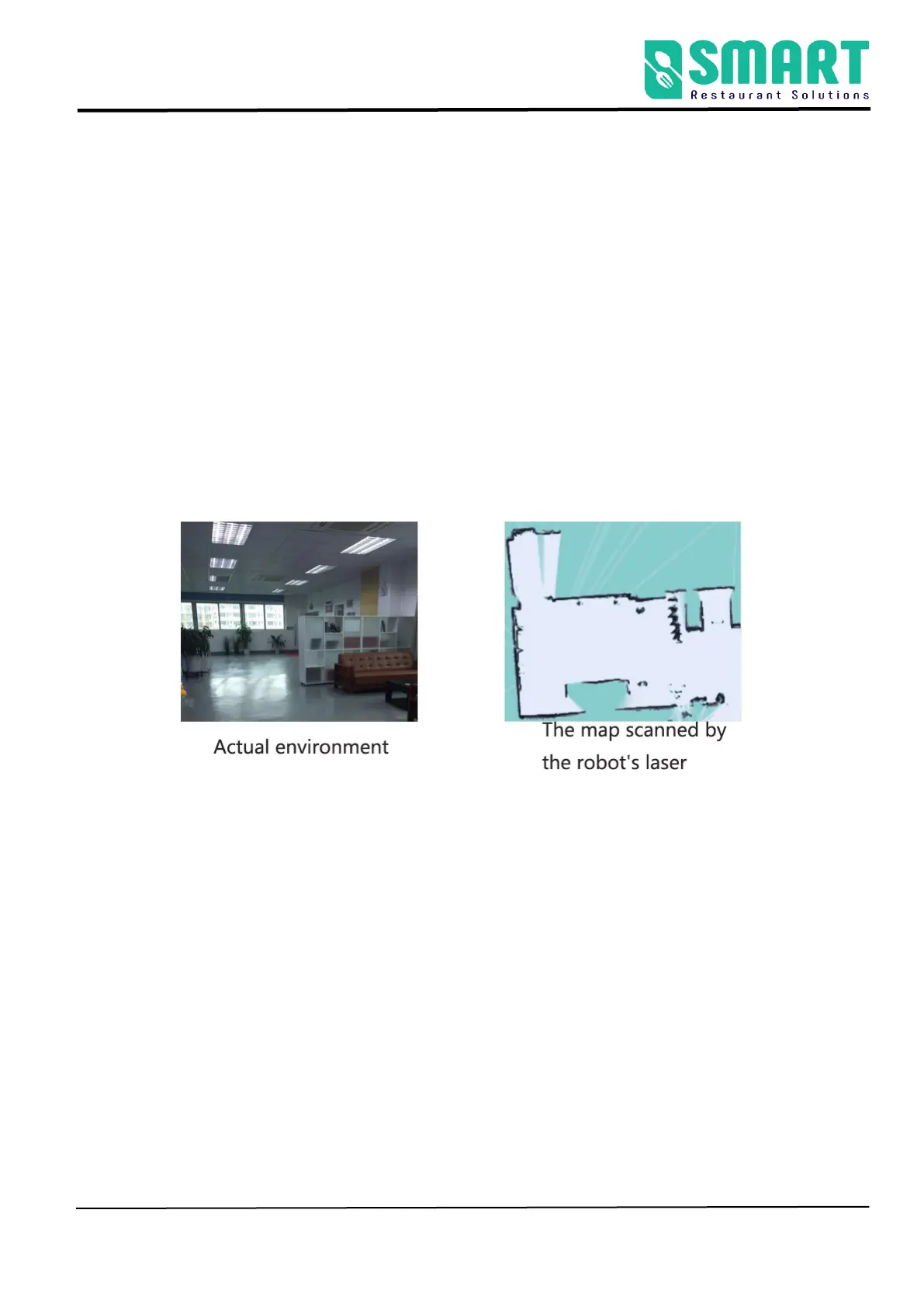
The step 2 [Build a map ]
➢ The purpose of building the map is to let the robot know
the working environment
⚫ The robot needs to scan the actual environment and construct
an "original map". During the navigation process, the robot
can compare with the original map based on the real-time
scanning situation and find its own position.
⚫ The viewing angle of the Lidar is 270°, and the scanning range
is the horizontal plane of the radar height; the scanning
distance is 20 meters
⚫ Ask people to stand back and push the robot, or use the
keyboard arrow keys to control the mapping