97
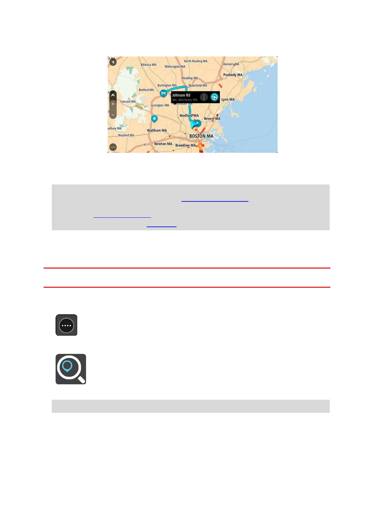
Your chosen Place is shown on the map with a pop-up menu.
4. To plan a route to this destination, select Drive/Ride, depending on which device you are using.
A route is planned and then guidance to your destination begins. As soon as you start driving, the
guidance view is shown automatically.
Tip: If your destination is in a different time zone, you see a plus (+) or a minus (-) sign and the
time difference in hours and half hours in the arrival information panel. The estimated time of
arrival is the local time at your destination.
Tip: You can add a stop to a route that you have already planned.
Tip: You can save a route using My Routes.
Planning a route using coordinates using step-by-step search
STEP-BY-STEP SEARCH ONLY
Important: In the interest of safety and to avoid distractions while you are driving, you should always
plan a route before you start driving.
To plan a route using a pair of coordinates, do the following:
1. Select the Main Menu button to open the Main Menu.
2. Select Drive To.
3. Select Latitude Longitude.
Tip: The example coordinates shown on the screen are your current latitude and longitude.
4. Type in your pair of coordinates. You can enter any of these coordinate types:
Decimal values, for example:
N 40.77000 W -73.96855
40.77000 -73.96855
 Loading...