Section 2: Distance closest to an exit + closest exit name
Section 3: City, State
Section 4: GPS coordinates
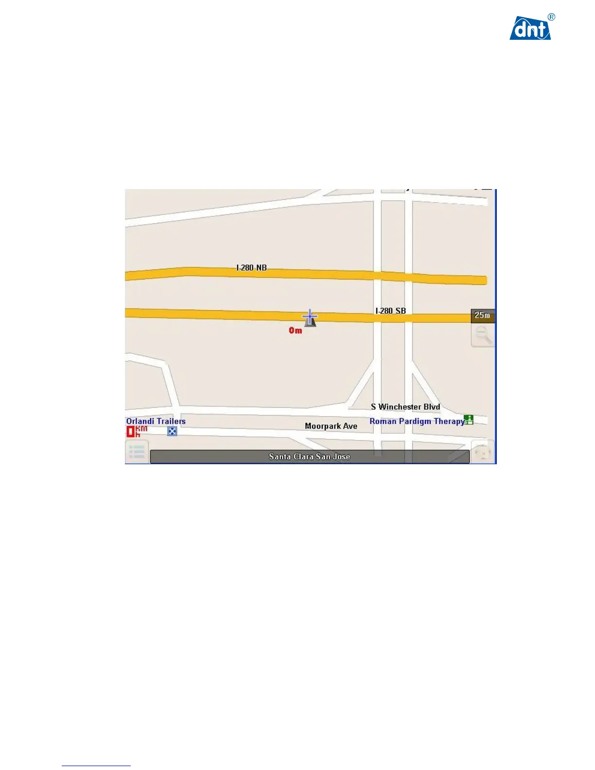
For example:
I-280 SB;<E>;13.12 km; Exit "10";San Jose,Santa Clara,CA;15:50;W121.95059,N37.31666;
The location is at southbound highway I-280, moving direction is East; 13.12 kilometers away from the next
exit "10"; Santa Clara, California; GPS coordinates are West 121.95059, North 37.31666.
C.3 Current Map Supported Countries
North America