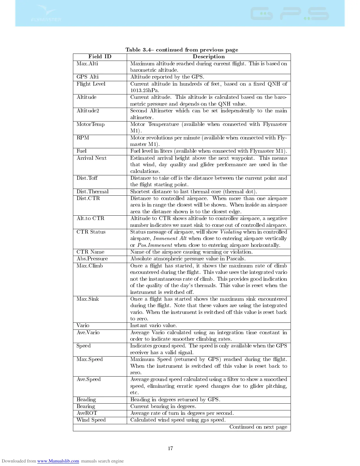
Table 3.4 continued from previous page
Field ID Description
Max.Alti Maximum altitude reached during current ight. This is based on
barometric altitude.
GPS Alti Altitude reported by the GPS.
Flight Level Current altitude in hundreds of feet, based on a xed QNH of
1013.25hPa.
Altitude Current altitude. This altitude is calculated based on the baro-
metric pressure and depends on the QNH value.
Altitude2 Second Altimeter which can be set independently to the main
altimeter.
MotorTemp Motor Temperature (available when connected with Flymaster
M1).
RPM Motor revolutions per minute (available when connected with Fly-
master M1).
Fuel Fuel level in liters (available when connected with Flymaster M1).
Arrival Next Estimated arrival height above the next waypoint. This means
that wind, day quality and glider performance are used in the
calculations.
Dist.To Distance to take o is the distance between the current point and
the ight starting point.
Dist.Thermal Shortest distance to last thermal core (thermal dot).
Dist.CTR Distance to controlled airspace. When more than one airspace
area is in range the closest will be shown. When inside an airspace
area the distance shown is to the closest edge.
Alt.to CTR Altitude to CTR shows altitude to controller airspace, a negative
number indicates we must sink to come out of controlled airspace.
CTR Status Status message of airspace, will show
Violating
when in controlled
airspace,
Immenent Alt
when close to entering airspace vertically
or
Pos.Immenent
when close to entering airspace horizontally.
CTR Name Name of the airspace causing warning or violation.
Abs.Pressure Absolute atmospheric pressure value in Pascals.
Max.Climb Once a ight has started, it shows the maximum rate of climb
encountered during the ight. This value uses the integrated vario
not the instantaneous rate of climb. This provides good indication
of the quality of the day's thermals. This value is reset when the
instrument is switched o.
Max.Sink Once a ight has started shows the maximum sink encountered
during the ight. Note that these values are using the integrated
vario. When the instrument is switched o this value is reset back
to zero.
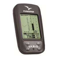
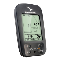
Vario Instant vario value.
Ave.Vario Average Vario calculated using an integration time constant in
order to indicate smoother climbing rates.
Speed Indicates ground speed. The speed is only available when the GPS
receiver has a valid signal.
Max.Speed Maximum Speed (returned by GPS) reached during the ight.
When the instrument is switched o this value is reset back to
zero.
Ave.Speed Average ground speed calculated using a lter to show a smoothed
speed, eliminating erratic speed changes due to glider pitching,
etc.
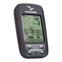
Heading Heading in degrees returned by GPS.
Bearing Current bearing in degrees.
AveROT Average rate of turn in degrees per second.
Wind Speed Calculated wind speed using gps speed.
Continued on next page
17