Do you have a question about the Furuno MFD8 and is the answer not in the manual?
Navigate to a specific point on the chart or radar display using the cursor.
Control the sound output level of the device for alerts and feedback.
Display context-sensitive menu options on the screen for current functions.
Control cursor movement direction on the display using directional inputs.
Retrieve detailed information about objects identified on the display.
View a list of saved navigation points or waypoints.
Mark a geographical position on the device for navigation or logging.
Define a sequence of points to create a planned navigation route.
Optimize radar performance by adjusting sensitivity and clutter filters.
Abort the current input operation or cancel the last action.
Choose from various screen layouts or display modes.
Access menu options and functions via on-screen soft keys.
Navigate and select options within the device's main menu structure.
Toggle between different active screens or functions.
Adjust the zoom level or display range for charts and radar.
Pan the chart or radar image across the screen for detailed viewing.
Record the vessel's current location as a navigation point.
Set a Man Overboard (MOB) marker for immediate location recall.
Reposition the vessel's icon to the center of the display screen.
Turn the device on or off using the dedicated power button.
Control the screen brightness and panel illumination levels.
Activate or deactivate the three-dimensional view mode for navigation displays.
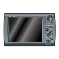
Utilize physical buttons with single or dual functions for device operation.
Operate functions using rotary knobs and on-screen soft menus.
Understand cursor states and its functions for measurement and selection.
Proper procedures for handling and protecting SD cards to prevent damage.
Step-by-step instructions for inserting an SD card into the drive.
Step-by-step instructions for safely removing an SD card from the drive.
Increase or decrease the zoom level of the displayed chart or radar.
Pan the displayed map or radar image across the screen.
Reset the vessel's position marker to the center of the display.
Set display mode: Head-up, North-up, or Course-up.
Choose from various screen configurations for optimal viewing.
Configure screen divisions and layouts for multi-display setups.
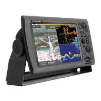
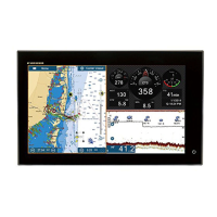
Identify key components and information displayed on the chart plotter.
Understand map data, symbols, and object information.
Control the visibility of map elements, text, and symbols.
Reset map display settings to factory defaults.
View current and tide data for specific locations.
Mark, save, and manage navigation waypoints.
Navigate towards a selected waypoint.
Access and manage saved navigation points.
Create, edit, and manage navigation routes.
Navigate a pre-defined route by following the displayed course.
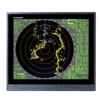
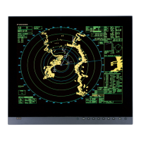
Identify key components and information displayed on the radar screen.
Use VRM to measure the range to a radar target.
Use EBL to measure the bearing of a radar target.
Define an area to alert for approaching targets.
Automatic Radar Plotting Aid for target tracking and collision avoidance.
Understand the various symbols used for ARPA target status.
Display detailed information for tracked radar targets.
Set alarms for Closest Point of Approach and Time to CPA.
Manage target history length and display settings.
Activate or deactivate the Automatic Identification System.
Understand the various symbols used for AIS target identification.
Configure alerts for AIS targets detected within a specified distance.
Display detailed information for identified AIS targets.
Identify key components and information displayed on the fish finder screen.
Choose between automatic and manual operation for the fish finder.
Configure range, gain, and clutter for manual fish finder mode.
Choose between low, high, or dual frequencies for fish detection.
Utilize zoom features for detailed analysis of sonar data.
Measure fish depth and length using the ACCU-FISH function.
| Brightness | 1000 cd/m² |
|---|---|
| Weight | 2.2 kg |
| Contrast Ratio | 600:1 |
| Operating Temperature | -15°C to +55°C |
| Water Resistance | IP56 |
| Display Size | 8.4 inches |
| Display Type | LCD |
| Resolution | 800 x 600 pixels |
| Input Voltage | 12-24 VDC |



 Loading...