3. PLOTTER OPERATION
3-27
NEW
WPT
SELECT
MARK
COORD
TYPE
N< - - >S
E< - - >W
SAVE
RETURN
▲
34°44.000'N
135°21.000'W
359.9°
0.00nm
002WPT
00:00 01JAN00
34°44.000'N
135°21.000'W
359.9°
0.00nm
003WPT
00:00 01JAN00
34°44.000'N
135°21.000'W
359.9°
0.00nm
COMMENT
02:36 01JAN01
LAT
34° 12. 134'N
LON
134° 12. 345'W
PROXIMITY ALARM RADIUS
0. 00nm
MARK
0 01WPT
NAME
Waypoint window
5. If you do not need to change the waypoint data, press the SAVE soft key to register
the waypoint. The steps which follow show you how to change waypoint data.
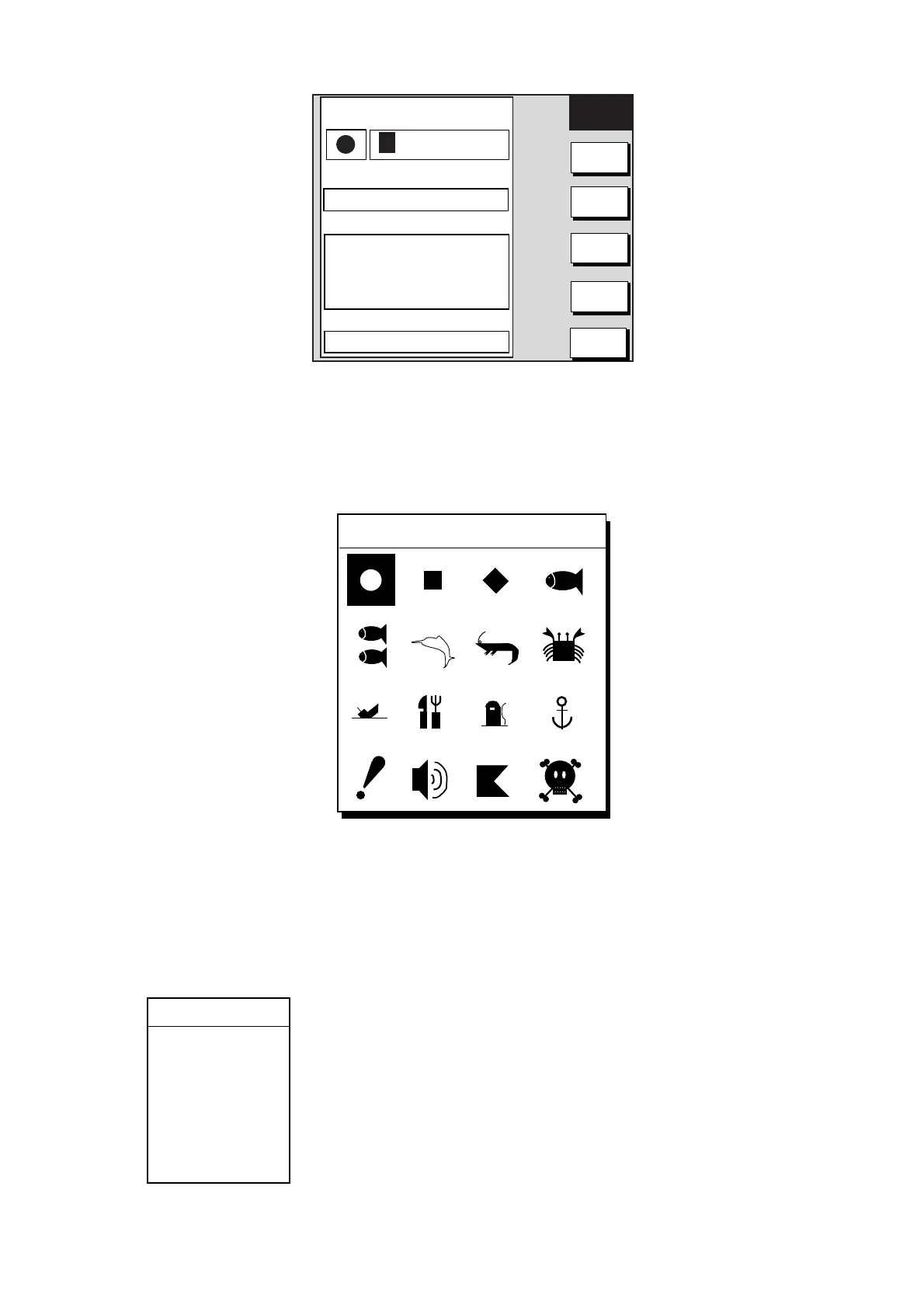
6. Press the SELECT MARK soft key.
7. Press the MARK SHAPE soft key to open the mark shape selection window.
SELECT MARK
Waypoint mark shape selection window
8. Operate the Trackball to select shape desired.
9. Press the ENTER soft key.
10. Press the SELECT MARK and MARK COLOR soft keys in that order to open the
waypoint mark color selection window. Select the color desired, then press the ENTER
soft key.
SELECT COLOR
▲
RED
YELLOW
GREEN
LIGHT BLUE
PURPLE
BLUE
WHITE
▼
Waypoint mark color selection window
 Loading...