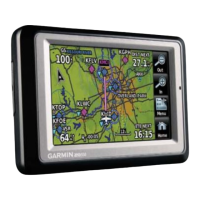
Garmin aera 500 Series Pilot’s Guide
190-01117-02 Rev. C
Appendix I
197
Overview GPS Navigation Flight Planning Hazard Avoidance Additional Features Appendices Index
APPENDIX I: MAP DATUM AND LOCATION
FORMATS
MAP DATUMS
A datum is a mathematical model of the Earth that approximates the shape of the
Earth and enables calculations to be carried out in a consistent and accurate manner.
The datum is physically represented by a framework of ground monuments (such as
trig. stations) whose locations have been accurately measured and calculated on this
reference surface. Lines of latitude and longitude on a chart are referenced to a specific
map datum. Every chart has a map datum reference and the aera can be set to match
most of those commonly used.
LOCATION FORMATS
YourcurrentlocationcanbeviewedontheGPSintheformofcoordinates.Since
different charts use different location formats, Garmin GPS units allow you to choose
the correct coordinate system for the type of chart you are using. The most common
formatislatitudeandlongitude,whichisusedbyallGarminunits.Youcanchangethe
location format to use with other coordinate systems. Several other grids, including a
user-definable grid (for the advanced user), are available.

 Loading...