Garmin aera 660 Pilot’s Guide
190-02017-20 Rev. E
101
Hazard Avoidance
Overview Navigation Flight Planning Hazard Avoidance Additional Features Appendices Index
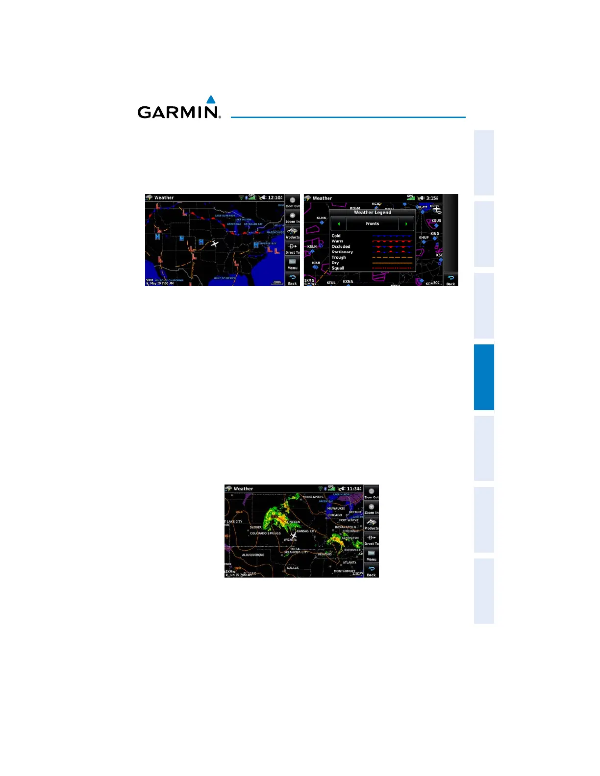
WEATHER FORECAST
Forecast information is available for current and forecast weather conditions.
Forecasts are available for intervals of 12, 24, 36, and 48 hours.
Weather Fronts
Fronts Legend
SURFACE PRESSURE
Surface Pressure information is available for current and forecase weather conditions.
Surface Pressure forecasts are available for intervals of 12, 24, 36, and 48 hours.
This feature displays pressure isobars and pressure centers. The isobars connect
points of equal pressure. Pressure readings can help determine weather and wind
conditions. High pressure areas are generally associated with fair weather. Low
pressure areas are generally associated with clouds and the chance of precipitation.
Isobars that are packed closely together show a strong pressure gradient. Strong
gradients are associated with areas of stronger winds. Pressure units can be displayed
in Millibars (mb), Hectopascals (pa), or Inches of Mercury (in).
Surface Pressure Data

 Loading...


