Do you have a question about the Garmin DEZL 580 and is the answer not in the manual?
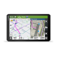
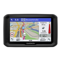
Provides an overview of the dēzl 580 device and its main components.
Instructions on how to mount the device in your vehicle and connect it to power.
Guides on how to power the device on, off, or put it into power saving mode.
Explains how the device acquires GPS signals for navigation.
Details the icons displayed in the status bar for device information.
Describes how to navigate menus and options using the device's on-screen buttons.
Instructions for adjusting audio volume and screen brightness settings.
Guide to adding, activating, and editing vehicle profiles for navigation.
Information on driver alerts, safety features, and how to enable/disable them.
Details on speed and red light camera alerts and their availability.
Explains the concept of a route and how the device calculates it.
Step-by-step instructions on how to start navigating to a destination.
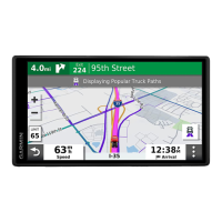
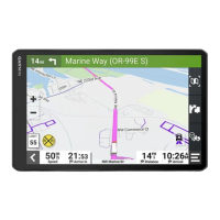
How the route is displayed on the map with turns and directions.
Explains the active lane guidance feature for complex junctions.
Information provided by the device as you approach your destination.
How to manually adjust the calculated route by adding shaping points.
Settings for avoiding specific traffic delays, toll roads, and restricted areas.
Instructions for using the device when not following roadways.
Information on finding useful or interesting places organized by category.
How to locate truck stops, rest areas, and weigh stations.
Using the search bar to find locations by category, name, or address.
Searching for locations by selecting predefined categories.
Creating routes to specific points within larger venues like malls or airports.
How location search results are displayed and interpreted.
Finding nearby parking based on availability, type, and price.
Using tools to search for specific location types like addresses or intersections.
Connecting to Foursquare for location-based social network features.
Using TripAdvisor ratings and points of interest for travel planning.
How to save favorite locations for quick access later.
Using the map interface, including panning, zooming, and filtering.
Accessing and using map tools for quick navigation functions.
Viewing upcoming points of interest, exits, and services along the route.
Understanding symbols that alert to hazards, conditions, and weigh stations.
Displaying and customizing trip data like speed, distance, and time.
Viewing traffic flow, delays, and incidents on the map.
Customizing map layers, data fields, and perspective for optimal viewing.
Steps to pair your phone and connect to the Smartphone Link app.
Overview of live services like traffic, weather, and cameras via Smartphone Link.
Receiving and viewing smartphone notifications on the dēzl device.
Using the device for making and receiving phone calls via Bluetooth.
Configuring Bluetooth features for Apple devices connected to the dēzl.
Configuring Bluetooth features for Android devices connected to the dēzl.
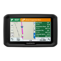
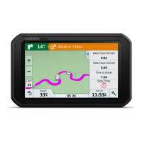
Using the break planner to manage driving hours and suggested breaks.
Sharing trip information and tracking location with others.
Recording fuel data for International Fuel Tax Agreement (IFTA) compliance.
Recording vehicle service and maintenance history.
Using voice commands to control the device's navigation and features.
Configuring and using voice control for device operation.
How to view the complete owner's manual directly on the device.
Viewing truck-specific routes and road information on the map.
Viewing current weather conditions and forecasts for various locations.
Checking current road conditions and alerts.
Using the trip planner to create, save, and navigate multi-destination trips.
Viewing live images from traffic cameras via the photoLive service.
Customizing map appearance, vehicle icon, and driving view.
Configuring route preferences, avoidances, and calculation modes.
Selecting route calculation methods like fastest time or shortest distance.
Managing Wi-Fi networks, Bluetooth devices, and Bluetooth features.
Configuring driver alerts, fatigue warnings, and proximity alerts.
Adjusting screen orientation, color mode, brightness, and timeout.
Setting units of measure, time format, and current time.
Managing device software, privacy options, and travel history.
Viewing software version, unit ID, regulatory information, and EULAS.
Technical specifications for the device, including operating temperatures.
Methods for charging the device's battery.
Accessing product manuals, FAQs, and customer support online.
Instructions for updating maps and software via Wi-Fi or Garmin Express.
Guidelines for cleaning and maintaining the device's physical condition.
Solutions for common issues like connectivity problems or charging failures.
Instructions for installing a memory card for expanded storage.
Information on managing files and data on the device and memory card.
Steps for connecting the dēzl device to a computer for data transfer.
Guidance on how to purchase and install additional map products.
| Resolution | 480 x 272 pixels |
|---|---|
| Battery Life | Up to 2 hours |
| Bluetooth | Yes |
| Wi-Fi | Yes |
| Truck & Trailer Services Directory | Yes |
| Custom Truck Routing | Yes |
| Touchscreen | Yes |
| GPS Receiver | High-sensitivity |
| Truck-specific Routing | Yes |
| Lifetime Map Updates | Yes |
| Voice-activated Navigation | Yes |
| Display Size | 5.0 inches |
| Preloaded Maps | Yes |