Do you have a question about the Garmin dezl 760LMT and is the answer not in the manual?
Connect the device to your vehicle's power source for charging and operation.
Register your device and check for software and map updates for optimal performance.
Configure truck or RV profiles to tailor navigation to your vehicle's characteristics.
Learn to adjust screen brightness, volume, and manage sleep modes for efficient use.
Locate destinations using categories, addresses, intersections, or coordinates.
Save current locations, home location, and edit saved points for easy access.
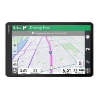
Discover nearby businesses, trucking services, and other points of interest.
Initiate navigation to a destination, saved location, or planned trip.
Customize route calculation modes for faster time, shorter distance, or less fuel.
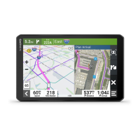
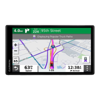
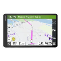
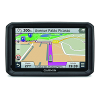
Navigate using the map view, adjust layers, and view traffic conditions.
Take detours around obstacles or avoid specific roads and areas on your route.
Connect your phone via Bluetooth for hands-free calling and manage calls.
Activate voice command with a wakeup phrase to control the device.
Connect to your smartphone for live data services like traffic and weather.
Calculate fuel economy, track fuel prices, and improve driving habits.
Create, save, and edit trips with multiple destinations.
View stored pictures and access world clock and calculator functions.
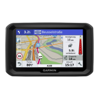
View traffic conditions, alerts, and incidents on your route and nearby.
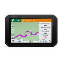
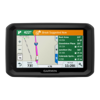
Access specialized features for truckers, including IFTA logging.
Record duty status, drivers, and shipments to comply with regulations.
Transfer data by connecting your device to a computer via USB.
Adjust map, vehicle, and navigation settings for personalized use.
Configure screen display, timeout, and Bluetooth wireless technology.
Access details on language, privacy, alerts, and device care.
Resolve problems with suction cups, charging, connectivity, and phone pairing.
| Display Size | 7 inches |
|---|---|
| Display Resolution | 800 x 480 pixels |
| Touchscreen | Yes |
| Preloaded Maps | Yes, North America |
| Lifetime Map Updates | Yes |
| Bluetooth | Yes |
| Battery Life | Up to 1 hour |
| Voice-Activated Navigation | Yes |
| Wi-Fi | No |
| Voice Command | Yes |
| Custom Truck Routing | Yes |
| Truck-Specific Points of Interest | Yes |
| Dash Cam Compatible | No |
| Speaker | Yes |
| GPS Receiver | High-sensitivity GPS |
| Traffic Updates | Yes |
| Weight | 1.1 lbs |
| Tire Pressure Monitoring System (TPMS) Compatible | No |
| Backup Camera Compatible | Yes |