EasyManua.ls Logo

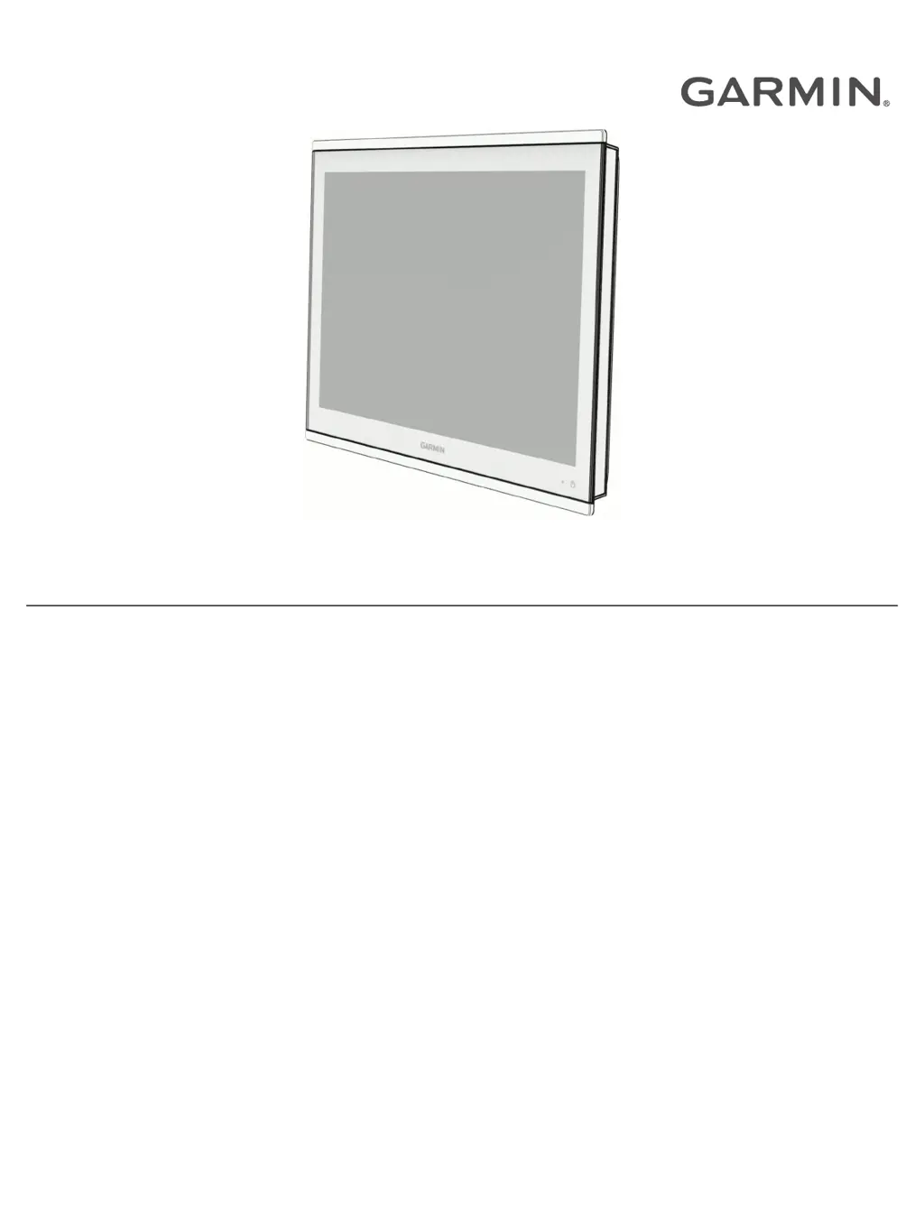
Garmin GPSMAP 8000 Series User Manual

Garmin GPSMAP 8000 Series
232 pages
To Next Page IconTo Next Page
Page #1 background imageLoading...
Page #1 background image
GPSMAP
®
8000/9000 SERIES
Owner’s Manual

Table of Contents

Other manuals for Garmin GPSMAP 8000 Series

Questions and Answers:

Garmin GPSMAP 8000 Series Specifications

General IconGeneral
Display Size12" or 16"
Water ResistanceIPX7
Power Supply10-32 VDC
Built-in SonarNo
MicroSD Card SlotYes
Display TypeMulti-touch display
ConnectivityWi-Fi, Bluetooth, NMEA 2000
Chart CompatibilityBlueChart g3, LakeVü g3
Video InputYes, supports video input from cameras
CHIRP SonarYes, when connected to compatible transducer
CHIRP ClearVüCompatible with ClearVü transducers
CHIRP SideVüCompatible with SideVü transducers
DimensionsVaries by model
WeightVaries by model

Summary

Introduction

Device Overview

Provides a visual guide to the chartplotter's main components and features.

Touchscreen Operation

Explains basic touch gestures like tapping, dragging, pinching, and spreading.

Connector Views

Details the various ports and their functions for different chartplotter models.

Customizing the Chartplotter

Home Screen Configuration

Details how to navigate and customize the chartplotter's home screen layout and categories.

Display and Screen Settings

Covers backlight, color mode, screen lock, auto power, and startup image customization.

Creating Custom Pages

Guides users on creating new combination and SmartMode pages with custom layouts.

Charts and 3D Chart Views

Detailed Chart Features

Describes the available detailed charts, subscriptions, and activation processes.

Chart Interaction and Navigation

Covers zooming, measuring, creating waypoints, and navigating to points on the chart.

Garmin Quickdraw Contours Mapping

Guides on creating and managing custom depth contour maps with the Quickdraw feature.

Navigation with a Chartplotter

Waypoint and Route Management

Covers creating, editing, navigating waypoints, routes, and tracks for navigation planning.

Auto Guidance Setup

Details how to set up and configure Auto Guidance paths for optimal route planning.

Sailing Features Setup

Covers sail racing, laylines, and autopilot integration for sailing maneuvers.

Sonar Fishfinder

Sonar Views Explained

Describes different sonar views like Traditional, ClearVü, SideVü, Panoptix, and LiveScope.

Sonar Settings and Configuration

Covers adjusting gain, range, scroll speed, appearance, alarms, and frequencies.

Radar

Radar Interpretation and Overlay

Explains how to read the radar display and use the radar overlay feature with chart data.

Radar Controls and Settings

Covers transmitting signals, guard zones, MARPA, VRM/EBL, echo trails, and filter settings.

Autopilot

Autopilot Configuration and Screen

Covers system setup, preferred heading source, and navigating the autopilot interface.

Steering Patterns and Controls

Details various steering patterns and how to control the autopilot with a watch or remote.

Device Configuration

System Settings

Covers display, satellite positioning, system info, station setup, and power management settings.

Preferences Settings

Covers units, language, navigation preferences, filters, keyboard, and screenshot settings.

Alarms Configuration

Covers setting navigation, sonar, weather, and fuel alarms for safety and system monitoring.

Appendix

ActiveCaptain and Garmin Express Apps

Explains how to use these apps for managing the chartplotter, software, and charts.

Updating Charts and Software

Guides on updating charts and device software using Garmin Express or ActiveCaptain.

Troubleshooting Common Issues

Offers solutions for common problems like GPS signal loss, power issues, and waypoint creation errors.

Related product manuals