 Loading...
Do you have a question about the Garmin Oregon 300 and is the answer not in the manual?
| Sport (fitness, running) | Yes |
|---|---|
| Marine (chartplotters, sounders) | No |
| Tracks quantity | 20 |
| Number of waypoints | 1000 |
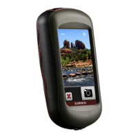
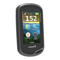
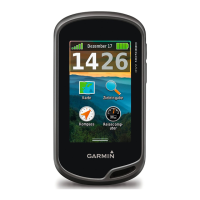
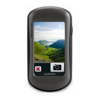
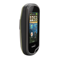
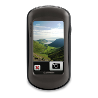
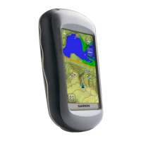
| Form factor | Handheld |
| Certification | RoHS |
| Interface | USB, NMEA 0183 |
| Display diagonal | 3 \ |
| Display resolution | 240 x 400 pixels |
| Display size (HxV) (imperial) | 1.53 x 2.55 \ |
| Battery type | AA |
| Battery life (max) | 16 h |
| Number of batteries supported | 2 |
| Depth | 35 mm |
|---|---|
| Width | 58 mm |
| Height | 114 mm |
| Weight | 192.7 g |