27
Reference
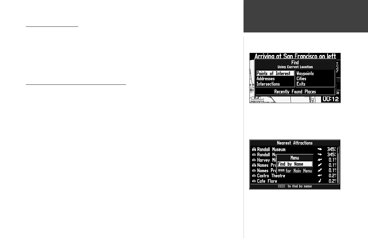
Using the Find Menu
Using the Find Menu
You can use the FIND key to search for Waypoints, Cities or Exits that are included in the Street-
Pilot III basemap. In addition, if you are using City Navigator or MetroGuide (optional) map data,
you can search for Points of Interest, Addresses, or Intersections (you must have the data card inserted
in the unit to use these functions). Your current location is normally used as the reference point for
the ‘Nearest’, ‘Distance’, and ‘Direction’ features. However, if you are using the panning arrow (Map
Pointer), it is used as the reference point.
Finding Items ‘by Name’ or ‘by Nearest’
Personal Waypoints, Cities, and Points of Interest on the Find menu can be viewed in two formats,
‘By Name’ (a list of every item available for a category) or ‘By Nearest’ (a list of only those items for
a category that are nearby). The Find Nearest lists (nearest businesses, cities, waypoints and exits)
update continuously. The yellow highlight can be introduced by pressing ENTER or any direction
on the rocker keypad. Introducing the highlight allows you to scroll through and select any of the
nearest items listed and it also freezes the list in its current order. To remove the highlight and resume
continuous searching for nearest items, press the QUIT key.
To switch between ‘By Name’ and ‘Nearest’:
1. Press the MENU key.
2. Highlight ‘Find Nearest’ or ‘Find By Name’ and press ENTER.
To fi nd an item by name:
1. The fi rst character in the name fi eld at the top of the page will be selected. Begin entering the
name of the item you want, using the method for entering each letter or number described on
page 11.
2. When you can see that the names of the items in the list below are near the name of the item
you want, press ENTER.
3. Highlight the item you want from the list and press ENTER to display the information page for the
item.
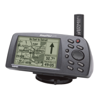
The Find menu uses the built in basemap and optional
City Navigator CD Map Data.
You can fi nd items by name or search for nearby items
by category.
190-00256-10_0B.indd 27 1/13/2003, 10:33:53 AM
 Loading...